Bosco Fontana - Italy

Basic Information
Site Name
Bosco Fontana
Short name
IT05-001-T
Country
Italy
Site Description
Bosco Fontana is an ancient primary woodland and represents one of the last remnants of the original Po plain forest. The historic events that have influenced the area are the fragmentation and the decrease of the forest habitat surface, the modification in the forest composition and structure. One of the most relevant events happened is the heavy storm in 1949, which uprooted more than 1500 m3 of wood, leaving “naked” a 50 ha area. The consequent reforestation with allochthonous species (plane tree and red oak) constitutes another alteration of the natural ecosystem. The allochthonous species are progressively eliminated to reconstitute the original oak-hornbeam woodland. From a faunistic point of view, the area represents a “tank” of forest species disappeared or extremely rare in the other areas. The central grassland, used for grazing till 70s, is now treated with scheduled mows.
Last modified
2024-02-20 02:02:05

CC-BY-NC Logo

General Characteristics and Status
Site Status
Operational
Year Established
1976
Observed properties
Affiliation and Network Specific Information
Affiliation
ILTERThis site is a verified "ILTER" member.
LTER EuropeThis site is a verified "LTER Europe" member.
ICP Forests (5_31)This site is a verified "ICP Forests" member.
LTER Italia (Italy) (LTER_EU_IT_037)This site is a verified "LTER Italia (Italy)" member.
ICOS (http://meta.icos-cp.eu/resources/stations/ES_IT-BFt)The affiliation of this site with "ICOS" is not verified by the network on DEIMS-SDR.
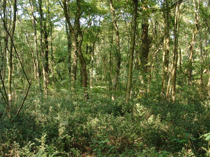
Photos
The oak-hornbeam forest (photo by S. Hardersen).
Geographic
Centroid/Representative Coordinates

Latitude: 45.2009 Longitude: 10.744

Elevation (average)
25.00msl
Elevation (min)
24.00msl
Elevation (max)
26.00msl
Download

Site information [.json]

Centroid/representative coordinates [.shp] [.kml]
Bounding Box [.shp] [.kml]
Boundaries [.shp] [.kml]