LTSER Zone Atelier du Bassin de la Moselle - Vosges Acidification Observatory - France - Haut-Rupt
General Information
UUID
5af25743-9c5a-4774-8dc9-e2aa506c8bc8
Location Type
Description
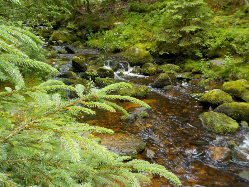
The Haut-Rupt stream is one of the watersheds included in the Vosges Acidification Observatory. It flows mostly through a peatland (Petites Hautes Vannes) and forest (spruce and mixed forest). On the monthly samples the following analyses are made: pH, conductivity, major anions and cations (Ca, Na, K and Mg), alcalinity, aluminium, iron, manganese, dissolved organic and inorganic carbon, total dissolved nitrogen, absorbance spectrum, synchronous fluorescence spectrum (gap = 50 nm).