LTSER Zone Atelier du Bassin de la Moselle - Vosges Acidification Observatory - France - Cellet
General Information
UUID
6574aba0-f7e9-4dde-ab1b-8cd7138e59ea
Location Type
Description
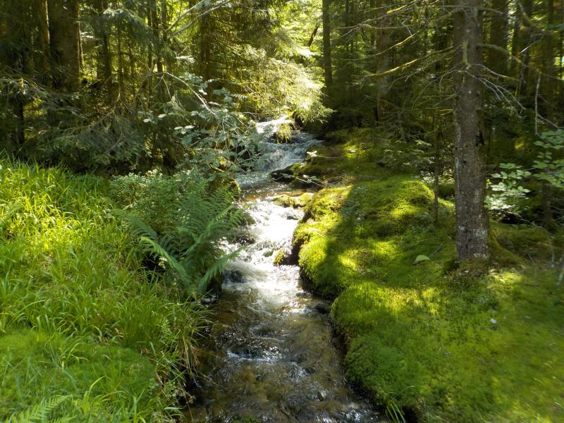
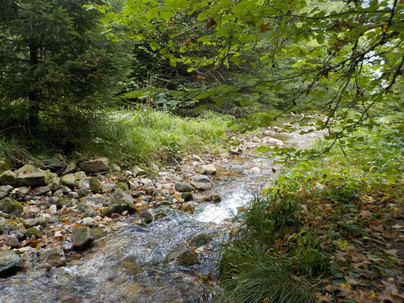
The Cellet stream is one of the watersheds included in the Vosges Acidification Observatory. It flows mostly through forest (spruce and mixed forest), but crosses also some peatland spots. Its main tributary is the Roulier stream. On the monthly samples the following analyses are made: pH, conductivity, major anions and cations (Ca, Na, K and Mg), alcalinity, aluminium, iron, manganese, dissolved organic and inorganic carbon, total dissolved nitrogen, absorbance spectrum, synchronous fluorescence spectrum (gap = 50 nm). Weather permitting, samples are also taken upstream of the junction with the Roulier.