Intensive plot
General Information
UUID
78732efd-b655-4645-96a0-f0a2feee2dbd
Location Type
Description
The investigated area was established in 2003 as part of the EU project SUSTMAN, and various forest stand parameters were determined with respect to soil and vegetation ecology. During a severe storm in 2008 (Kyrill), a large part of the old trees on the plots were damaged by the storm, and the wood was harvested and transported to minimize the risk of bark beetle calamities. The main plot Hirschenwies is located on the property of the “Fürstenbergschen Forstverwaltung Weitra”, subdistrict “Oberer Forst”, in the northern zone of Austria called “Waldviertel”. The study area extends over an altitude of 850 m to 910 m above sea level and is mainly exposed to the north-west. The study area has an area of approximately one hectare. The age of the protective forest stand above the natural regeneration is about 100 years.
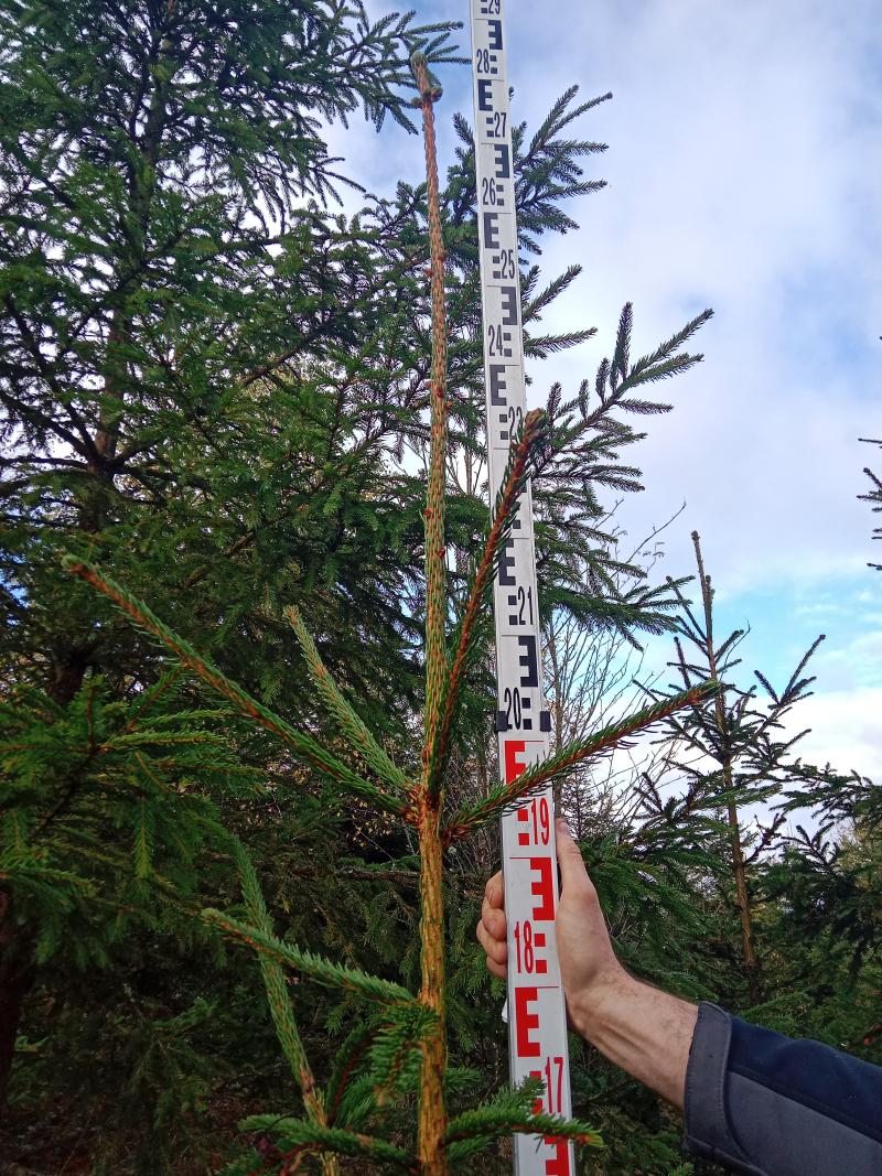
Within the intensive main plot, there are 5 sub-plots of sycamore, 3 sub-plots of fir, 5 sub-plots of beech, and 12 sub-plots of natural regeneration. On the planted plots, 48 plants were regularly distributed over the study area. On the planted plots, all trees were measured, and in addition to the plot center, the nearest 10 trees of both tree species were also measured. Measurements included the circumference at the base of the tree and the circumference at 1.30 m above the ground. The height of the tree and the starting point of the crown are also measured.
On large parts of the plots, there are naturally occurring wild cherries (Prunus avium), alder buckthorn (Rhamnus frangula), and birch (Betula pendula), indicating the succession stage and representing pioneer species.
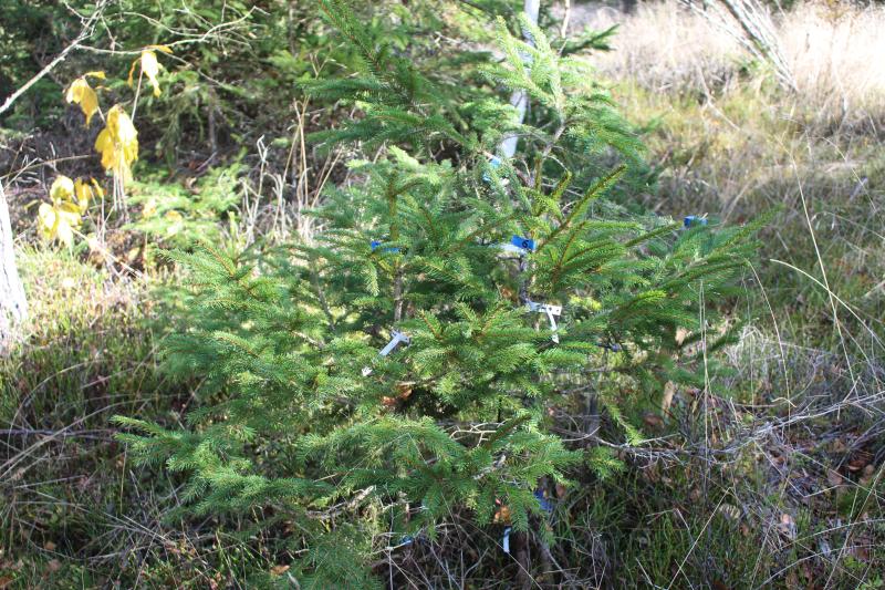
The protective forest stand above the natural regeneration is continuously decreasing; in 2008, there was a severe storm (Kyrill), which strongly affected the sample plots. Currently, the spruce is growing well under the canopy, the fir plots are also developing well, and within the beech plots there are some solitary, vital individuals. However, the fir plots were severely damaged by a hail event in 2022–2023. The protective forest stand has been measured at regular intervals for the period from 2002 to 2023. The old stand was completely felled in 2022.
Within the intensive main plot, there are 5 sub-plots of sycamore, 3 sub-plots of fir, 5 sub-plots of beech, and 12 sub-plots of natural regeneration. On the planted plots, 48 plants were regularly distributed over the study area. On the planted plots, all trees were measured, and in addition to the plot center, the nearest 10 trees of both tree species were also measured. Measurements included the circumference at the base of the tree and the circumference at 1.30 m above the ground. The height of the tree and the starting point of the crown are also measured.
On large parts of the plots, there are naturally occurring wild cherries (Prunus avium), alder buckthorn (Rhamnus frangula), and birch (Betula pendula), indicating the succession stage and representing pioneer species.
The protective forest stand above the natural regeneration is continuously decreasing; in 2008, there was a severe storm (Kyrill), which strongly affected the sample plots. Currently, the spruce is growing well under the canopy, the fir plots are also developing well, and within the beech plots there are some solitary, vital individuals. However, the fir plots were severely damaged by a hail event in 2022–2023. The protective forest stand has been measured at regular intervals for the period from 2002 to 2023. The old stand was completely felled in 2022.