Skip to main content
Home
Explore
All Sites
European LTER Sites
Site Map
Networks
Log in
Traunbach and Schwollbach sites in NP Hunsrück-Hochwald
General Information
UUID
98b128c2-81b5-4108-8e7b-91bcd1c311df
Description
Area includes divers longterm aquatic monitoring sites and weather stations wihtin the region of the National Park Hunsrück Hochwald
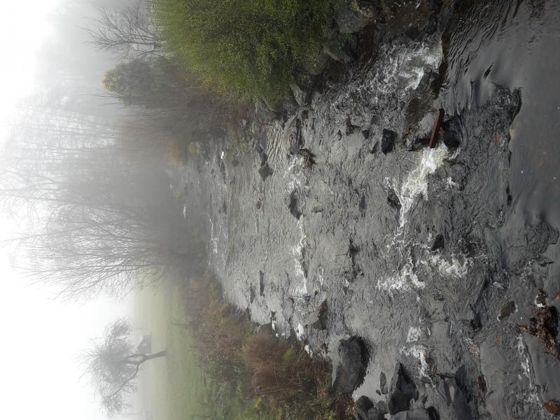
Images
Traunbach by Ellweiler, lower part
Traunbach by Abentheuer, middle part
Traunbach by Tranenweiher, upper part
Traunbach, deforrested upper part
Previous
Next
Geographic
Download Record
[.json]
Download Boundaries
[.shp]
[.kml]
Size (calculated automatically)
ca. 6359.22ha