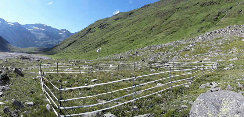
Rotmoos valley, moraine 1858, Datalogger Soil (R-M1858_BL3)
General Information
UUID
d948cda8-2b3c-4880-b387-b58086f0ef2f
Description
locality name: Rotmoos valley moraine 858, Datalogger Soil;
location label PANGAEA: R-M1858_BL3;
type: single point;
plat community/habitat: glacier foreland;
lat (WGS 84): 46,841194;
long (WGS 84): 11,031181;
elevation measured [m a.s.l.]: 2291;
elevation corrected [m a.s.l.]: 2291
location label PANGAEA: R-M1858_BL3;
type: single point;
plat community/habitat: glacier foreland;
lat (WGS 84): 46,841194;
long (WGS 84): 11,031181;
elevation measured [m a.s.l.]: 2291;
elevation corrected [m a.s.l.]: 2291