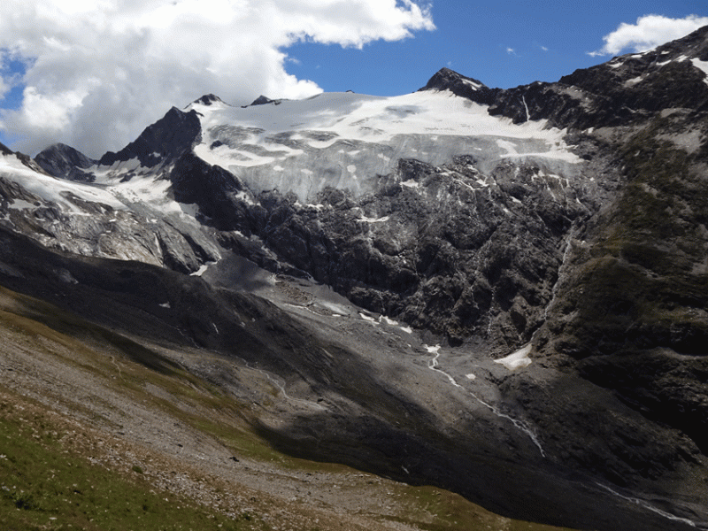
Glacier foreland 1 (R-M2009)
General Information
UUID
fa0406a4-30cf-4b64-ba0a-a54bba315cfa
Description
locality name: Glacier foreland 1;
location label PANGAEA: R-M2009;
type: area (small: 4 x 1m² plots);
plat community: sparse vegetation;
lat (WGS 84): 46,823140;
long (WGS 84): 11,045100;
elevation measured [m a.s.l.]: 2490;
elevation corrected [m a.s.l.]: 2486;
additional information: ice-free since 2009
location label PANGAEA: R-M2009;
type: area (small: 4 x 1m² plots);
plat community: sparse vegetation;
lat (WGS 84): 46,823140;
long (WGS 84): 11,045100;
elevation measured [m a.s.l.]: 2490;
elevation corrected [m a.s.l.]: 2486;
additional information: ice-free since 2009