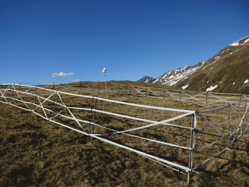
Schoenwieskopf, Datalogger Air (S-bf_LL2)
General Information
UUID
30a1983d-e6f1-497d-a726-f631cf3aa3ed
Description
locality name: Schoenwieskopf, Datalogger Air;
location label PANGAEA: S-bf_LL2;
type: single point;
plat community/habitat: alpine grassland;
lat (WGS 84):46,848696;
long (WGS 84): 11,013668;
elevation measured [m a.s.l.]: 2311
elevation corrected [m a.s.l.]: 2311
location label PANGAEA: S-bf_LL2;
type: single point;
plat community/habitat: alpine grassland;
lat (WGS 84):46,848696;
long (WGS 84): 11,013668;
elevation measured [m a.s.l.]: 2311
elevation corrected [m a.s.l.]: 2311