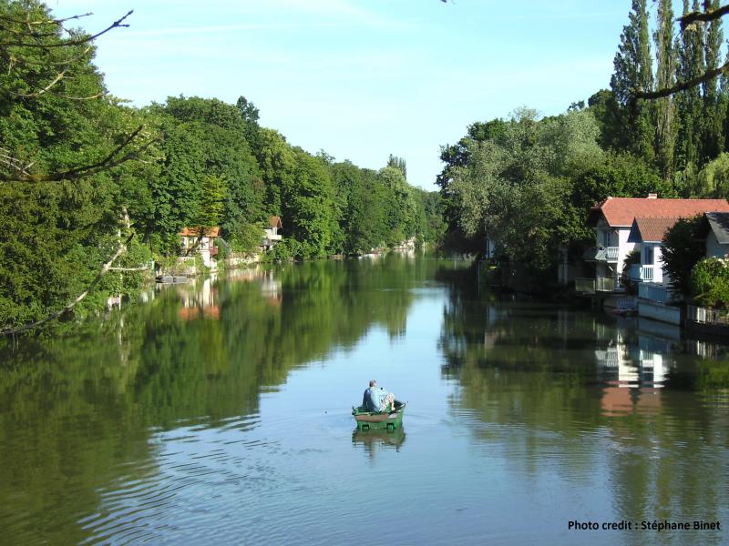
OZCAR-RI SNO_KARST Karst Val d'Orléans - France
DEIMS.ID
https://deims.org/09a5c45b-db4b-41b0-8068-675d2fb9a0bc
ProTip! Use the DEIMS.ID to reference sites in papers, reports or anywhere else.
Basic Information
Site Name
OZCAR-RI SNO_KARST Karst Val d'Orléans
Short name
KAST_ValdO
Country
France
Site Manager
Site Description
Last modified
2024-04-09 23:14:51
![]()
General Characteristics and Status
Site Status
Operational
Year Established
1890
Affiliation and Network Specific Information
Affiliation
SNO Karst✖The affiliation of this site with "SNO Karst" is not verified by the network on DEIMS-SDR.
OZCAR RI✔This site is a verified "OZCAR RI" member.
LTER Europe✔This site is a verified "LTER Europe" member.
LTER France✔ (CZO_EU_FR_189)This site is a verified "LTER France" member.
Critical Zone Collaborative Network (CZ Net)✖The affiliation of this site with "Critical Zone Collaborative Network (CZ Net)" is not verified by the network on DEIMS-SDR.
Photos
Geographic
Centroid/Representative Coordinates
Latitude: 47.8503 Longitude: 1.9373
Size
ca. 28400.00ha
Elevation (average)
90.00msl
Elevation (min)
87.00msl
Elevation (max)
110.00msl
Download