Central Plains Experimental Range NEON - United States of America
DEIMS.ID
https://deims.org/0f2005e9-bfe6-438b-8242-116a9457ce45
ProTip! Use the DEIMS.ID to reference sites in papers, reports or anywhere else.
This record was created automatically using information from the:
Basic Information
Site Name
Central Plains Experimental Range NEON
Short name
CPER
Country
United States of America
Web Address
Site Manager
Site Description
Last modified
2025-09-17 11:43:07
![]()
General Characteristics and Status
Site Status
Operational
Year Established
2014
Observed properties
Photos
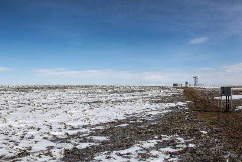
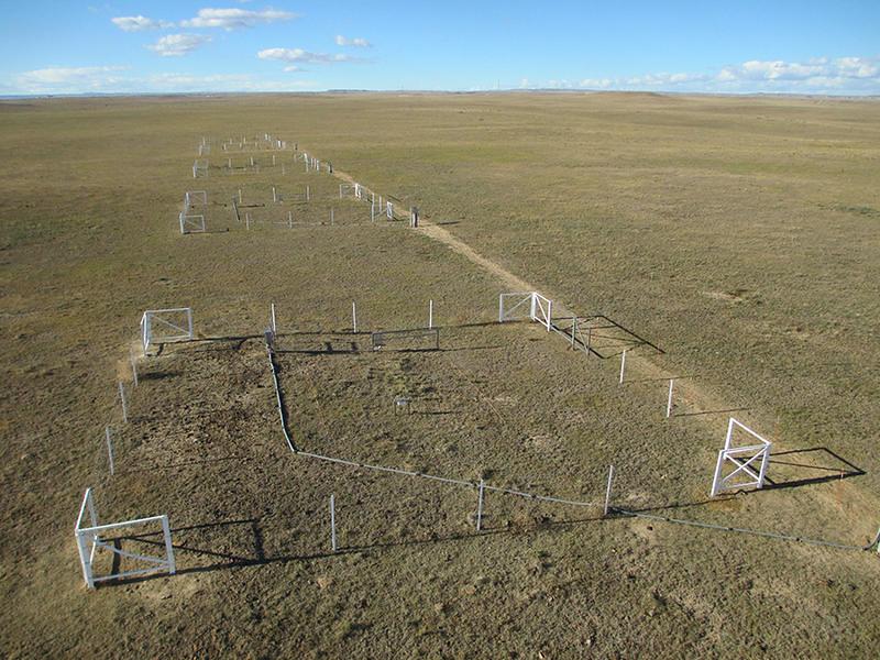
Geographic
Centroid/Representative Coordinates
Latitude: 40.81553 Longitude: -104.7456
Elevation (average)
1654.00msl
Elevation (min)
1601.00msl
Elevation (max)
1686.00msl
Download