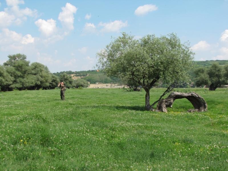
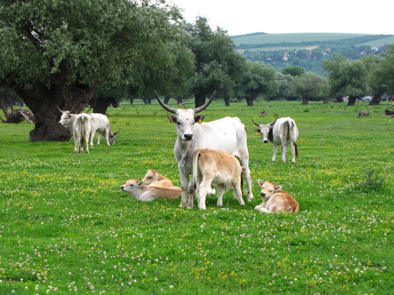
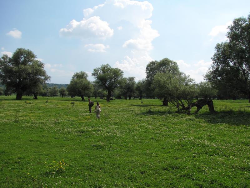
Koviljsko-petrovaradinski rit - Serbia

This site has been closed down since 2020.
Basic Information
Site Name
Koviljsko-petrovaradinski rit
Short name
Krcedinska ada
Country
Serbia
Operating Organisation
Site Manager
Funding Agency
Site Description
Krcedinska ada is a Danube river island and a part of a larger floodplain complex, Nature Reserve and Ramsar site Koviljsko-petrovaradinski rit. It has a semi-circular shape and a surface area of 870ha, making it one of the largest river islands in Serbian Danube region. The area is characterized by moderate continental climate. The area is of special importance as a migratory habitat for waterfowl and as a feeding resource during reproductive period. Given that micro-relief is in constant change, plant associations are in apparent dynamics. Vegetation is composed of different vegetation types dominated by pastures with open grown veteran willow trees, scattered thorny shrubs and forest fragments. Open habitats of Krcedinska ada with veteran willow trees indicate that the area has been managed as a wood pasture throughout history. According to historical documents, cattle ranching (horses, donkeys, cows, pigs) has been practiced on the island for more than 400 years. Such land use practice resulted with preservation of wet habitats suitable for spawning and rearing fish as well as wet meadows suitable for rare plant species such as Marsilea quadrifolia, Scirpus triqueter and Limosella aquatic. The association Salicetum albae pannonicum represents most common forest association on the shores and backwaters line as a connection with herbaceous phytocenoses. Understory of forest cultures are invaded with indigo bush (Amorpha fruticosa), green ash (Fraxinus pennsylvanica) and boxelder (Acer negundo).
Last modified
2022-03-23 02:03:52

CC-BY-NC Logo

General Characteristics and Status
Site Status
Closed
Year Established
2010
Year Closed
2020
Observed properties
Affiliation and Network Specific Information
Affiliation
LTER SerbiaThe affiliation of this site with "LTER Serbia" is not verified by the network on DEIMS-SDR.
Photos
not defined
not defined
not defined
not defined
not defined
not defined
Geographic
Centroid/Representative Coordinates

Latitude: 45.18 Longitude: 20.12

Elevation (average)
70.00msl
Elevation (min)
72.00msl
Elevation (max)
76.00msl
Download

Site information [.json]

Centroid/representative coordinates [.shp] [.kml]
Bounding Box [.shp] [.kml]
Boundaries [.shp] [.kml]