Blandy Experimental Farm NEON - United States of America
DEIMS.ID
https://deims.org/1a5fbe95-b936-4a0e-8cf5-bbed079cb76e
ProTip! Use the DEIMS.ID to reference sites in papers, reports or anywhere else.
This record was created automatically using information from the:
Basic Information
Site Name
Blandy Experimental Farm NEON
Short name
BLAN
Country
United States of America
Web Address
Site Manager
Site Description
Last modified
2025-09-19 09:31:47
![]()
General Characteristics and Status
Site Status
Operational
Year Established
2015
Observed properties
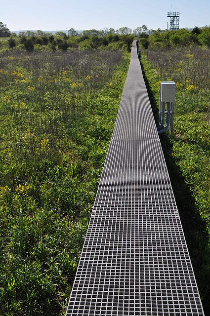
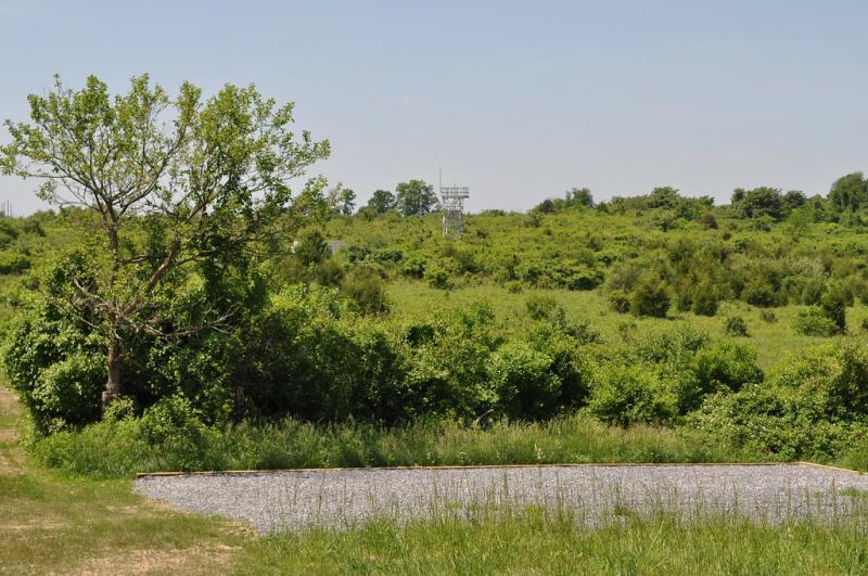
Photos
Geographic
Centroid/Representative Coordinates
Latitude: 39.094908 Longitude: -77.979278
Size
ca. 269.00ha
Elevation (average)
183.00msl
Elevation (min)
119.00msl
Elevation (max)
193.00msl
Download