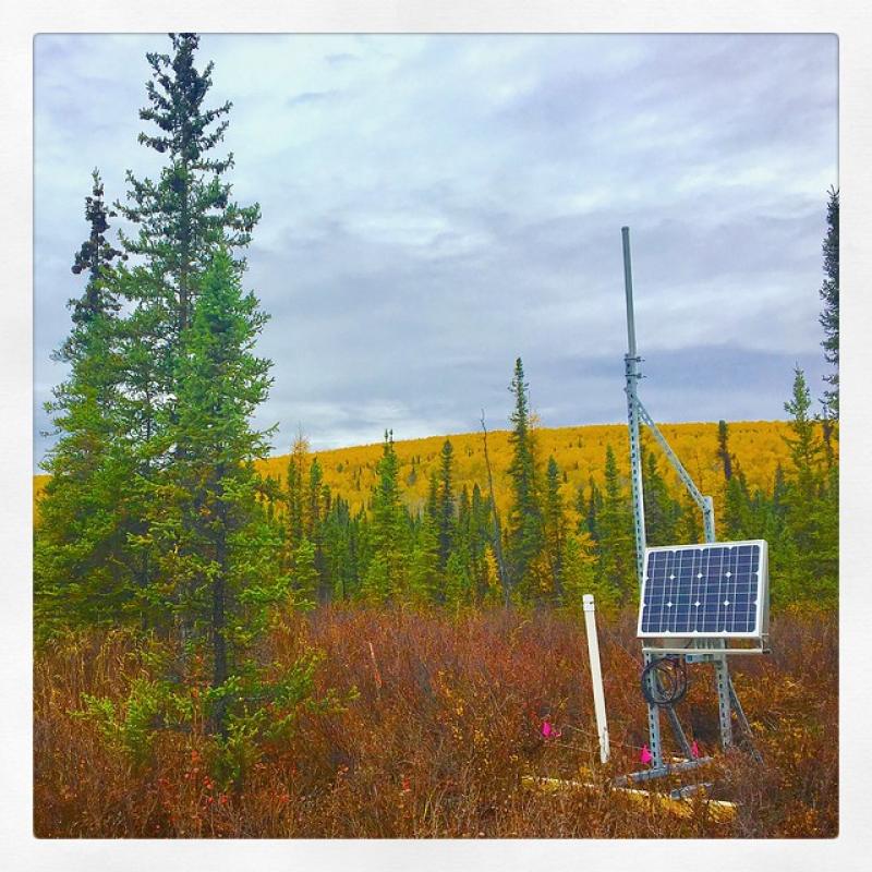
Caribou Creek NEON - United States of America

Basic Information
Platform Icon

Site Name
Caribou Creek NEON
Short name
CARI
Country
United States of America
Site Manager
Site Description
Caribou Creek, Caribou-Poker Creeks (CARI) a core aquatic site and part of NEON's Domain 19: Tagia. CARI is collocated with Caribou-Poker Creeks Research Watershed. Remote sensing surveys of this site collect lidar, spectrometer and high resolution RGB camera data. This site has one upstream sensor station and one downstream sensor station. Measurements include PAR, temperature, water quality [specific conductivity, chlorophyll a, dissolved oxygen content, pH, turbidity, and fluorescent dissolved organic matter (only downstream)], and nitrate is measured at the downstream station. Eight groundwater wells throughout the site collect specific conductivity, water tempertaure, and elevation of groundwater.Field ecologists collect the following types of observational data at this site: aquatic organisms (Aquatic Microbes (surface water),macroinvertebrates microalgae, plants and macroalgae, zooplankton. Biogeochemical data on plants,sediment water and particulates.As well as physical aquatic data on bathymetric maps, stage,secchi depth and depth profiles, and riparian assessment. Total data products planned for this site: 78.
Last modified
2020-07-27 10:07:03

CC-BY-NC Logo

General Characteristics and Status
Site Status
Operational
Year Established
2016
Observed properties
Affiliation and Network Specific Information
Affiliation
GERIThis site is a verified "GERI" member.
NEON (CARI)This site is a verified "NEON" member.
Photos
CARI
CARI
Geographic
Centroid/Representative Coordinates

Latitude: 65.15306 Longitude: -147.50246

Elevation (average)
263.00msl
Download

Site information [.json]

Centroid/representative coordinates [.shp] [.kml]