Smithsonian Environmental Research Center NEON - United States of America
DEIMS.ID
https://deims.org/2d69f93e-743b-40d7-bda8-59c49767e7a4
ProTip! Use the DEIMS.ID to reference sites in papers, reports or anywhere else.
Basic Information
Site Name
Smithsonian Environmental Research Center NEON
Short name
SERC
Country
United States of America
Web Address
Site Manager
Site Description
Last modified
2025-09-18 16:07:19
![]()
General Characteristics and Status
Site Status
Operational
Year Established
2015
Observed properties
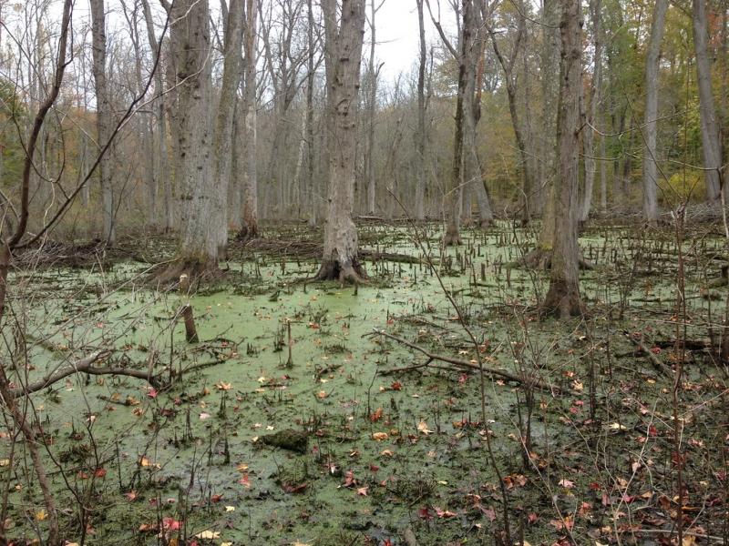
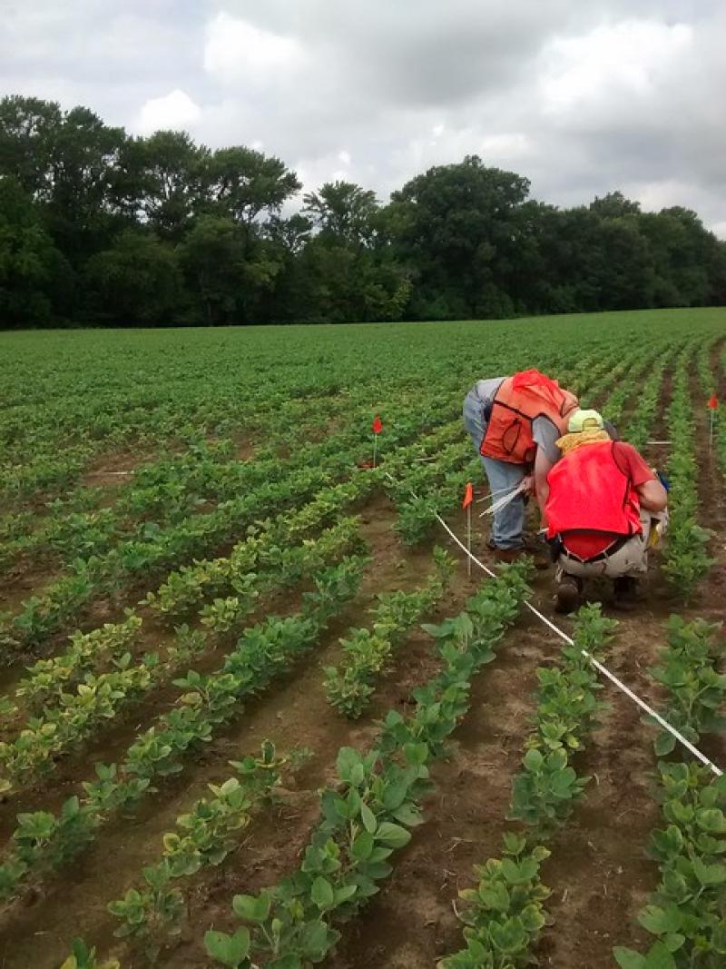
Photos
Geographic
Centroid/Representative Coordinates
Latitude: 38.89008 Longitude: -76.56001
Size
ca. 1070.00ha
Elevation (average)
33.00msl
Elevation (min)
0.00msl
Elevation (max)
43.00msl
Download