Martha Creek NEON - United States of America
DEIMS.ID
https://deims.org/32c023e0-e828-4152-9942-d65d64c97b8e
ProTip! Use the DEIMS.ID to reference sites in papers, reports or anywhere else.
This record was created automatically using information from the:
Basic Information
Site Name
Martha Creek NEON
Short name
MART
Country
United States of America
Web Address
Site Manager
Site Description
Last modified
2025-09-18 09:43:10
![]()
General Characteristics and Status
Site Status
Operational
Year Established
2017
Observed properties
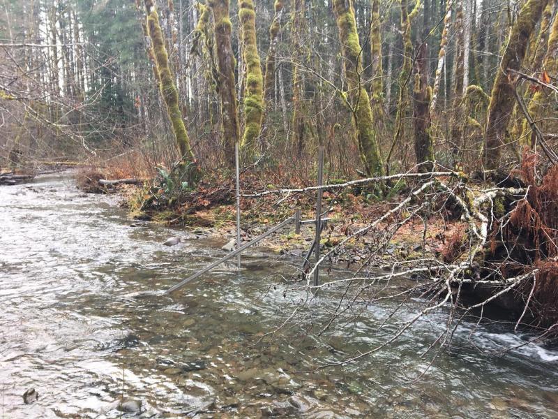
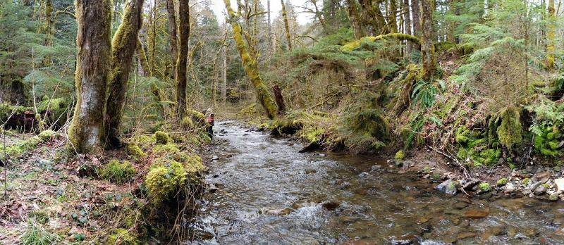
Photos
Geographic
Centroid/Representative Coordinates
Latitude: 45.79125 Longitude: -121.93196
Size
ca. 767.00ha
Elevation (average)
434.00msl
Elevation (min)
300.00msl
Elevation (max)
1008.00msl
Download