OZCAR-RI OZC-R Forêt de Mare Longue - France, Réunion
DEIMS.ID
https://deims.org/3f02d3de-a233-41c0-b6fb-5f02c6c15ba5
ProTip! Use the DEIMS.ID to reference sites in papers, reports or anywhere else.
Basic Information
Site Name
OZCAR-RI OZC-R Forêt de Mare Longue
Short name
OZCAR-RI OZC-R ML
Country
France
Réunion
Web Address
Operating Organisation
Site Manager
Funding Agency
Site Description
Last modified
2024-05-21 14:56:17
![]()
Affiliation and Network Specific Information
Affiliation
OZCAR RI✔This site is a verified "OZCAR RI" member.
LTER Europe✔This site is a verified "LTER Europe" member.
LTER France✔This site is a verified "LTER France" member.
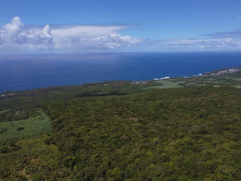
Photos
Geographic
Sites are only displayed in the site overview map if they have set an active site status.
Centroid/Representative Coordinates
Latitude: -21.346624 Longitude: 55.740166
Size
ca. 1124.36ha
Download