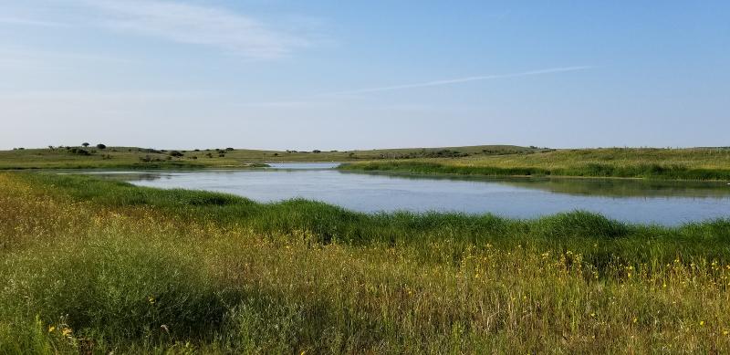
Prairie Lake NEON - United States of America

Basic Information
Site Name
Prairie Lake NEON
Short name
PRLA
Country
United States of America
Site Manager
Site Description
Prairie Lake at Dakota Coteau Field School  is relocatable aquatic site and is part of NEON's Northern Plains Domain 9. Prairie Lake is also co located in The Dakota Coteau Field School (DCFS) terrestrial field. Also located in Stuntsman County, North Dakota, approximately 100 miles northeast of Bismarck, in an area known as the "Prairie Pothole Region." It is encompassed in the Northern Plains Domain, which includes a patchwork of grasslands, agricultural, and wetland/aquatic communities embedded in a matrix of small agrarian communities. This site is managed by the State of North Dakota Land Trust and is moderately grazed throughout the year. NEON sampling at DCFS occurs across nonadjacent land parcels interspersed by private land. Remote sensing surveys of this site collect lidar, spectrometer and high resolution RGB camera data. This site has one meteorological station located in the riparian area and one meteorological station above water on a buoy. The met stations are outfitted with the a subset of the same sensors used at terrestrial sites. Measurements include wind speed and direction, air temperature, barometric pressure, relative humidity, shortwave radiation, and PAR. This site has one buoy-mounted sensor station and an inlet station and outlet station. At the buoy, the automated instrument measurements are: PAR at water surface, PAR below water surface, temperature at a specific depth in surface water, water quality (specific conductivity, chlorophyll a, dissolved oxygen content, pH turbidity, and fDOM), and nitrate. At the inlet and outlet stations, the measurements are: PAR below water surface, elevation of surface water, and temperature in surface water. Eight groundwater wells throughout the site collect specific conductivity, water tempertaure, and elevation of groundwater. Field ecologists collect the following types of observational data at this site: aquatic organisms (Aquatic Microbes (surface water), macroinvertebrates microalgae, plants and macroalgae, zooplankton. Biogeochemical data on plants,sediment water and particulates.As well as physical aquatic data on bathymetric maps, stage,secchi depth and depth profiles, and riparian assessment. Total data products planned for this site: 77
Last modified
2021-03-03 11:03:22

CC-BY-NC Logo

General Characteristics and Status
Site Status
Operational
Year Established
2014
Observed properties
Affiliation and Network Specific Information
Affiliation
GERIThis site is a verified "GERI" member.
NEON (PRLA)This site is a verified "NEON" member.
Photos
PRLA plant diversity training
Geographic
Elevation (average)
565.00msl
Elevation (min)
494.00msl
Elevation (max)
592.00msl
Download

Site information [.json]

Centroid/representative coordinates [.shp] [.kml]