Toolik Lake NEON - United States of America
DEIMS.ID
https://deims.org/489ae6a6-9dbe-4677-9fe7-7c82e85341b6
ProTip! Use the DEIMS.ID to reference sites in papers, reports or anywhere else.
Basic Information
Site Name
Toolik Lake NEON
Short name
TOOK
Country
United States of America
Web Address
Site Manager
Site Description
Last modified
2025-09-18 14:55:07
![]()
General Characteristics and Status
Site Status
Operational
Year Established
2016
Observed properties
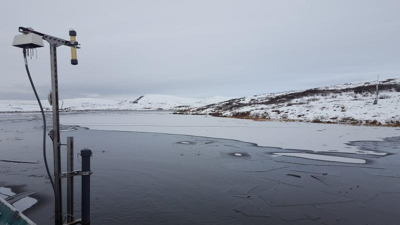
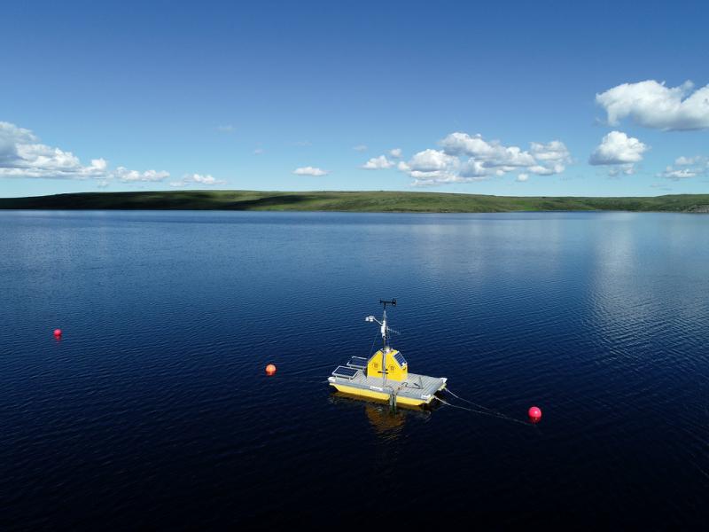
Photos
Geographic
Centroid/Representative Coordinates
Latitude: 68.630692 Longitude: -149.610636
Size
ca. 6370.00ha
Elevation (average)
745.00msl
Elevation (min)
704.00msl
Elevation (max)
980.00msl
Download