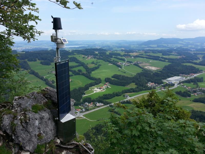
Landscape Lab in the Mondsee catchment - University of Salzburg - Austria

This site has been closed down.
Basic Information
Site Name
Landscape Lab in the Mondsee catchment - University of Salzburg
Short name
Landscape Lab
Country
Austria
Site Manager
Site Description
While LTER site Lake Mondsee itself is an aquatic study subject, as a subcatchment of the Mondee catchment this study area focusses on a smaller scale terrestrial study area. Particularly the 6 km2 sub-catchment in Koppl, located in the west of the Mondsee catchment, is located at the edge of the Alpine / pre-Alpine environment close to the city of Salzburg, Austria. The catchment wth an elevation average of 715 m in a range from 600 to 955 m asl is instrumented with nine measurement stations measuring atmospheric, hydrolocial and pedologcial parameters. The geoscientific Landscape Lab comprises a wireless sensor network, with a main stations at the 'Meindlbauer'. For the wireless data transmission the ZigBee IEEE 802.15.4 protocol are used. The main station receives continuous sensor measurements every ten minutes from nine stations, and acts as the gateway to the online availabel Sensor Observation Service and Sensor Planning Service by providing the communication channel from the local sensor network to the web-enabled data management infrastructure. Station two, 'Plainfelder Bach', measures discharge and phosphorus loads at the confluence of 'Koppler Bach' and 'Plainfelder Bach', and is of interest for nutrient emission modelling and flood forecasting. This station comprises a Sontek IQ-Plus (discharge), a Water Insitu AnalyZer (three types of phosphorus analysed in a field device), and additional technical infrastructure to support energy supply. Because the station 'Plainfelder Bach' is located in a catchment valley, it cannot establish a reliable wireless ZigBee connection with the main station. Therefore, station 'Plainfelder Bach' utilises a Raspberry PI as a gateway, with a mobile GSM Internet connection for data distribution, and can be considered a second independent WSN. The station 'Plainfelder Bach' is also connected to the joint web-enabled data management infrastructure.
Last modified
2021-06-14 12:06:05

CC-BY-NC Logo

General Characteristics and Status
Site Status
Closed
Year Established
2013
Observed properties
Photos
not defined
not defined
not defined
not defined
not defined
not defined
not defined
not defined
not defined
not defined
not defined
not defined
not defined
not defined
not defined
not defined
Geographic
Elevation (average)
600.00msl
Elevation (min)
955.00msl
Elevation (max)
715.00msl
Download

Site information [.json]

Centroid/representative coordinates [.shp] [.kml]
Bounding Box [.shp] [.kml]
Boundaries [.shp] [.kml]