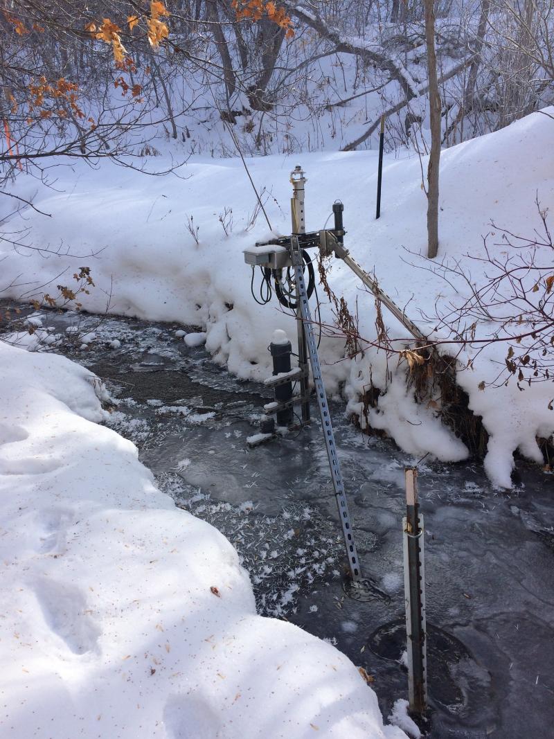
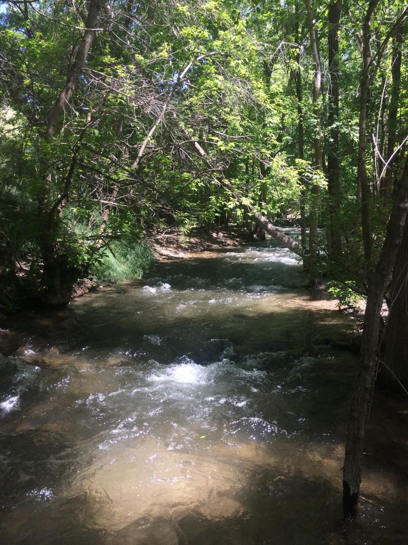
Red Butte Creek NEON - United States of America

Basic Information
Platform Icon

Site Name
Red Butte Creek NEON
Short name
REDB
Country
United States of America
Site Manager
Site Description
Red Butte Creek (REDB) is NEON's Core Aquatics site for the Domain 15: Great Basin. The creek flows down the east-west trending Red Butte Canyon through the Wasatch Mountains and opens into the Salt Lake Valley. Red Butte Creek once served as the primary water source for the U.S. Army's Fort Douglas. Red Butte Canyon is held by the U.S. Forest Service and is designated as a Research Natural Area (RNA) which is closed to public access. As a largely pristine watershed at the urban-wilderness interface, NEON's data from Red Butte Creek will inform researchers and decision makers on changes to the health of this and other Great Basin watersheds. This site has one meteorological station located in the riparian area and one meteorological station above water on a buoy. The met stations are outfitted with the a subset of the same sensors used at terrestrial sites. Measurements include wind speed and direction, air temperature, barometric pressure, relative humidity, shortwave radiation, and PAR. Remote sensing surveys of this site collect lidar, spectrometer and high resolution RGB camera data. Five groundwater wells throughout the site collect specific conductivity, water tempertaure, and elevation of groundwater. This site has one buoy-mounted sensor station and an inlet station and outlet station. At the buoy, the automated instrument measurements are: PAR at water surface, PAR below water surface, temperature at a specific depth in surface water, water quality (specific conductivity, chlorophyll a, dissolved oxygen content, pH turbidity, and fDOM), and nitrate. At the inlet and outlet stations, the measurements are: PAR below water surface, elevation of surface water, and temperature in surface water. Field ecologists collect the following types of observational data at this site: aquatic organisms (Aquatic Microbes (surface water),macroinvertebrates microalgae, plants and macroalgae, zooplankton. Biogeochemical data on plants,sediment water and particulates.As well as physical aquatic data on bathymetric maps, stage,secchi depth and depth profiles, and riparian assessment. Total data products planned for this site: 81
Last modified
2020-07-27 10:07:36

CC-BY-NC Logo

General Characteristics and Status
Site Status
Operational
Year Established
2017
Observed properties
Affiliation and Network Specific Information
Affiliation
GERIThis site is a verified "GERI" member.
NEON (REDB)This site is a verified "NEON" member.
Photos
REDB ice crystals in stream
REDB Spring Flow 2017
Geographic
Elevation (average)
1742.00msl
Elevation (min)
1524.00msl
Elevation (max)
2499.00msl
Download

Site information [.json]

Centroid/representative coordinates [.shp] [.kml]