Onaqui NEON - United States of America
DEIMS.ID
https://deims.org/4dfd3534-9b2b-45df-8307-bdb54bad3d10
ProTip! Use the DEIMS.ID to reference sites in papers, reports or anywhere else.
This record was created automatically using information from the:
Basic Information
Site Name
Onaqui NEON
Short name
ONAQ
Country
United States of America
Web Address
Site Manager
Site Description
Last modified
2025-09-18 11:15:21
![]()
General Characteristics and Status
Site Status
Operational
Year Established
2014
Observed properties
Photos
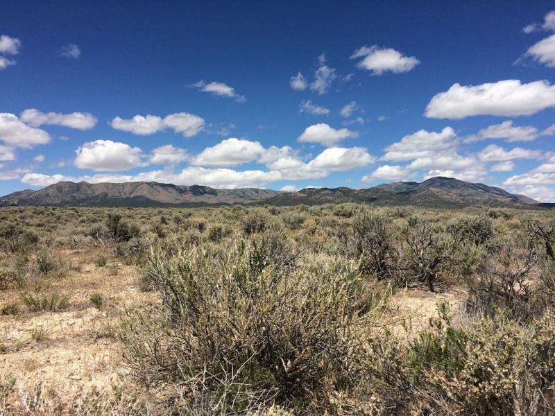
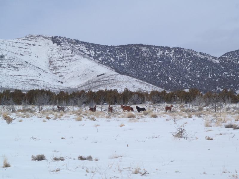
Geographic
Centroid/Representative Coordinates
Latitude: 40.180101 Longitude: -112.47947
Size
ca. 6777.00ha
Elevation (average)
1662.00msl
Elevation (min)
1599.00msl
Elevation (max)
2061.00msl
Download