Moab NEON - United States of America
DEIMS.ID
https://deims.org/67996b63-8edd-4cd7-824b-6a0f3db0ac8b
ProTip! Use the DEIMS.ID to reference sites in papers, reports or anywhere else.
This record was created automatically using information from the:
Basic Information
Site Name
Moab NEON
Short name
MOAB
Country
United States of America
Web Address
Site Manager
Site Description
Last modified
2025-09-18 10:15:48
![]()
General Characteristics and Status
Site Status
Operational
Year Established
2015
Observed properties
Photos
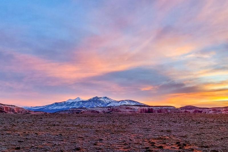
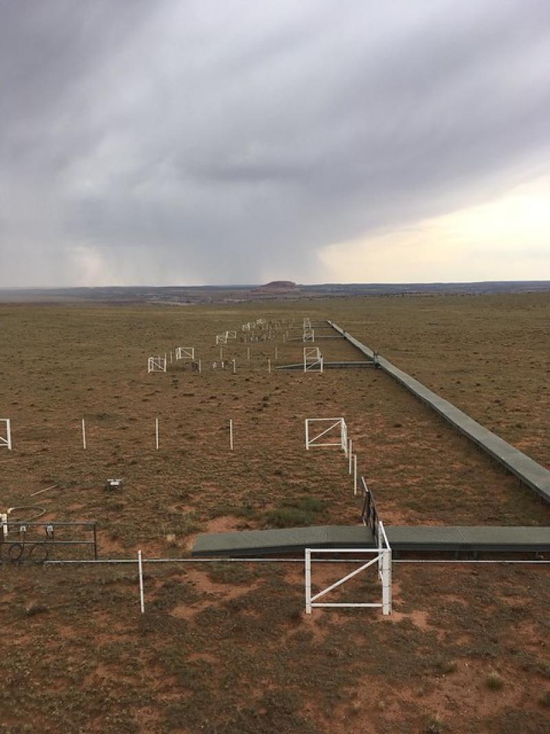
Geographic
Centroid/Representative Coordinates
Latitude: 38.2433 Longitude: -109.38827
Size
ca. 5043.00ha
Elevation (average)
1799.00msl
Elevation (min)
1722.00msl
Elevation (max)
2039.00msl
Download