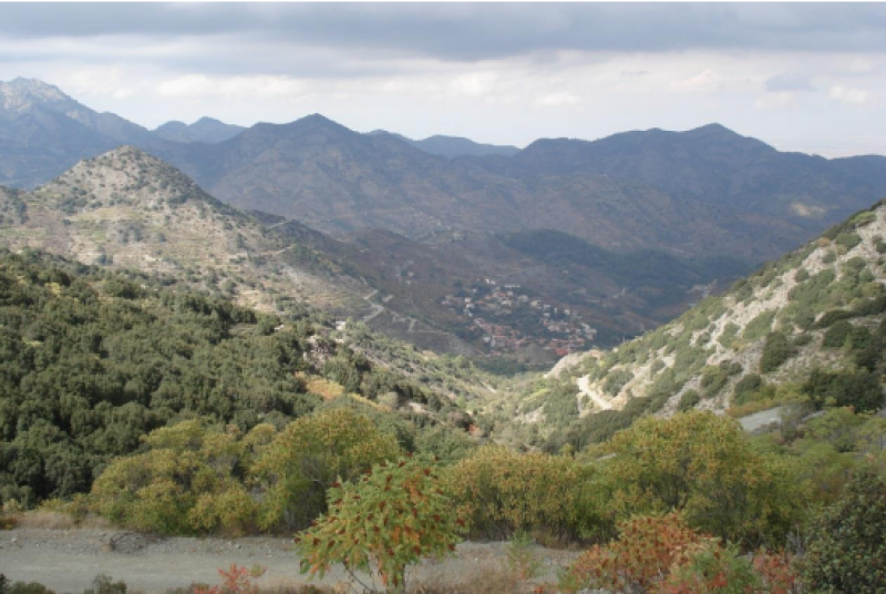
PERISTERONA Watershed - Cyprus
DEIMS.ID
https://deims.org/6e968820-d12d-4c7b-b0e7-38d372f8c20c
ProTip! Use the DEIMS.ID to reference sites in papers, reports or anywhere else.
Basic Information
Site Name
PERISTERONA Watershed
Short name
PerWshd
Country
Cyprus
Site Manager
Site Description
Last modified
2022-11-16 09:47:57
![]()
General Characteristics and Status
Site Status
Operational
Photos
Geographic
Centroid/Representative Coordinates
Latitude: 35.073121 Longitude: 33.07053
Size
ca. 11200.00ha
Elevation (average)
0.00msl
Elevation (min)
135.00msl
Elevation (max)
1540.00msl
Download