Wildwood Grove – Dulverton - United Kingdom
DEIMS.ID
https://deims.org/73781772-239e-4b6b-856b-95c1f199998d
ProTip! Use the DEIMS.ID to reference sites in papers, reports or anywhere else.
Basic Information
Site Name
Wildwood Grove – Dulverton
Short name
WG-Dulverton
Country
United Kingdom
Web Address
Site Description
Last modified
2026-01-26 17:22:50
![]()
General Characteristics and Status
Site Status
Operational
Year Established
2025
Observed properties
Recommended Citation
Burns, J. (2026). Wildwood Grove – Dulverton: Headwater land transition and restoration observatory. Somerset, United Kingdom.
Photos
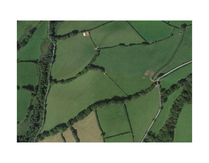
Geographic
Centroid/Representative Coordinates
Latitude: 51.030775 Longitude: -3.572338
Size
ca. 21.28ha
Elevation (average)
260.00msl
Elevation (min)
240.00msl
Elevation (max)
290.00msl
Download