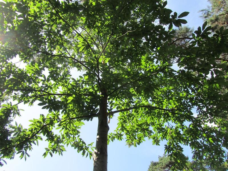
Belasitsa - Bulgaria

Basic Information
Platform Icon

Site Name
Belasitsa
Short name
BEL
Country
Bulgaria
Site Manager
Site Description
This site is located on the territory of Belasitsa Nature Park. The southwest part of Bulgaria where the Belasitsa mountain is situated falls into the European Broadleaf Forest Region, Macedonian Province. The chestnut belt has area of 2592 ha and is situated between 250 m and 900 m altitude. The forest has complex spatial structure and distorted age structure. The mean age of trees is 95 years but individuals aging 350 years are present, with diameter 2,5 m and height up to 18 m. In the community a tendency for substitution of the chestnut by other tree species is present. The climate is characterized by rainy winter and hot and dry summer. The vegetation period is near 220 days. Data on climate are available from the near by site in the town of Petrich. There are 3 sites with dispositives for meteorological, hydrological and hydrobiological measurements and 3 Forest permanent sample plots.
Last modified
2024-10-10 20:10:30

CC-BY-NC Logo

General Characteristics and Status
Site Status
Planned
Year Established
2009
Affiliation and Network Specific Information
Affiliation
LTER Bulgaria (LTER_EU_BG_002)The affiliation of this site with "LTER Bulgaria" is not verified by the network on DEIMS-SDR.
Photos
not defined
not defined
not defined
not defined
not defined
not defined
Geographic
Centroid/Representative Coordinates

Latitude: 41.3664 Longitude: 23.1341

Size
ca. 2592.00ha
Elevation (average)
418.00msl
Elevation (min)
250.00msl
Elevation (max)
900.00msl
Download

Site information [.json]

Centroid/representative coordinates [.shp] [.kml]
Bounding Box [.shp] [.kml]
Boundaries [.shp] [.kml]