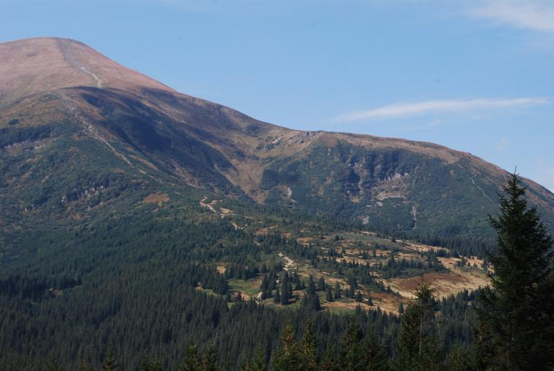
The mountain station "Chornohirskiy geographical station" - Ukraine
DEIMS.ID
https://deims.org/7c5246a2-5ca7-4874-a937-38ac9e756941
ProTip! Use the DEIMS.ID to reference sites in papers, reports or anywhere else.
Basic Information
Site Name
The mountain station "Chornohirskiy geographical station"
Short name
CHGS
Country
Ukraine
Web Address
Operating Organisation
Site Manager
Site Description
Last modified
2020-06-29 10:45:12
![]()
General Characteristics and Status
Site Status
Operational
Year Established
1978
Observed properties
Affiliation and Network Specific Information
Affiliation
LTER Ukraine✖ (LTER_EU_UA_005)The affiliation of this site with "LTER Ukraine" is not verified by the network on DEIMS-SDR.
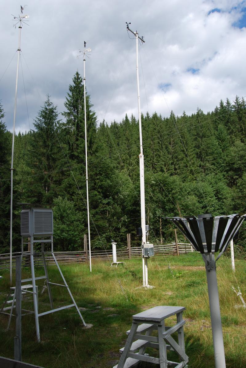
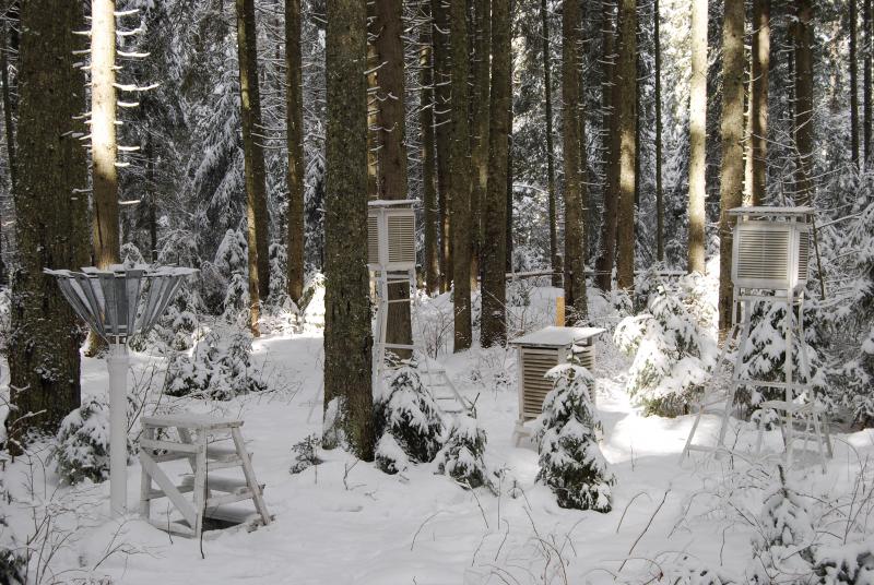
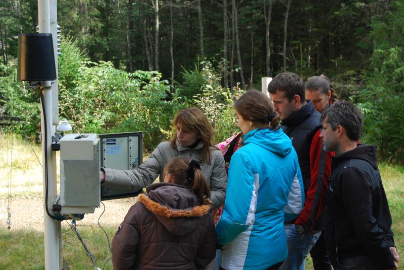
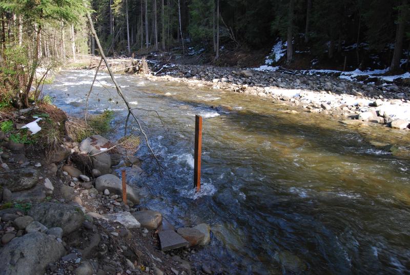
Photos

Geographic
Centroid/Representative Coordinates
Latitude: 48.179722 Longitude: 24.575555
Size
ca. 100.00ha
Elevation (average)
983.00msl
Elevation (min)
1200.00msl
Elevation (max)
900.00msl
Download