Rocky Mountains NEON - United States of America
DEIMS.ID
https://deims.org/871aaf92-3609-452e-aceb-a30b7a04d3bd
ProTip! Use the DEIMS.ID to reference sites in papers, reports or anywhere else.
Basic Information
Site Name
Rocky Mountains NEON
Short name
CASTNET-RMNP
Country
United States of America
Web Address
Site Manager
Site Description
Last modified
2025-09-18 16:03:12
![]()
General Characteristics and Status
Site Status
Operational
Year Established
2017
Observed properties
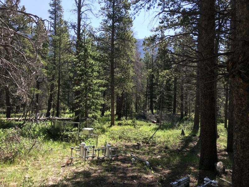
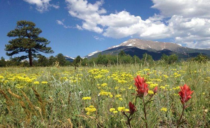
Photos
Geographic
Centroid/Representative Coordinates
Latitude: 40.27591 Longitude: -105.54592
Size
ca. 4648.00ha
Elevation (average)
2742.00msl
Elevation (min)
2454.00msl
Elevation (max)
3042.00msl
Download