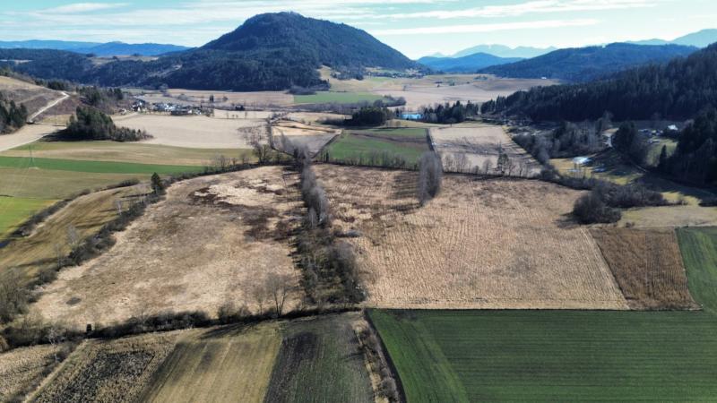
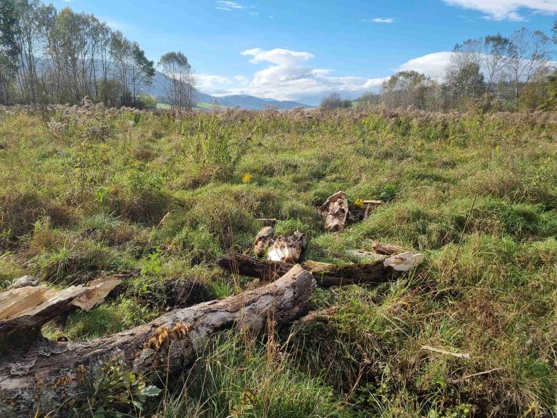
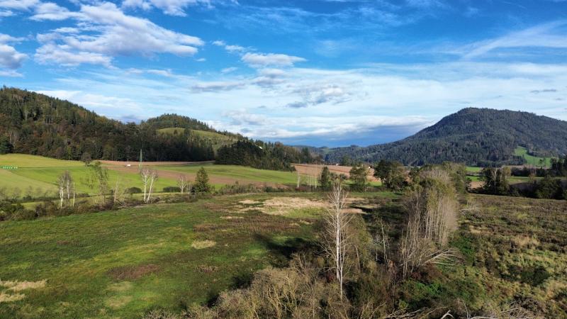
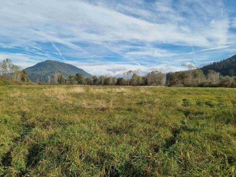
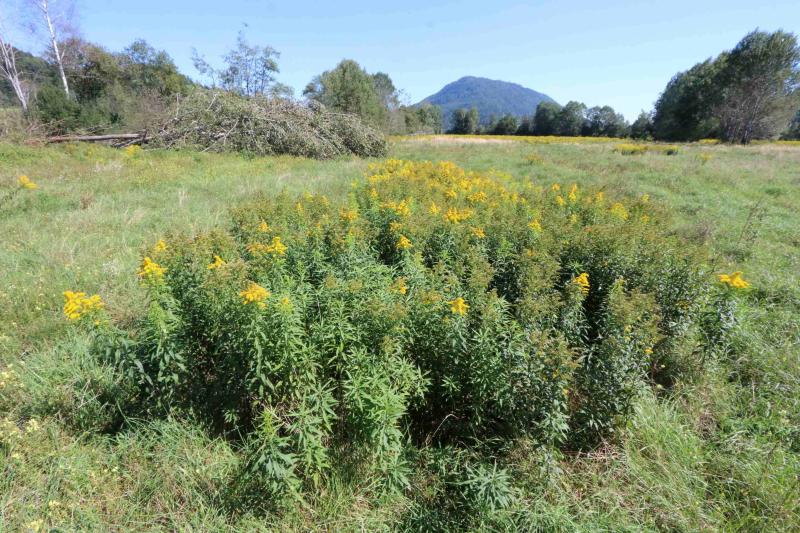
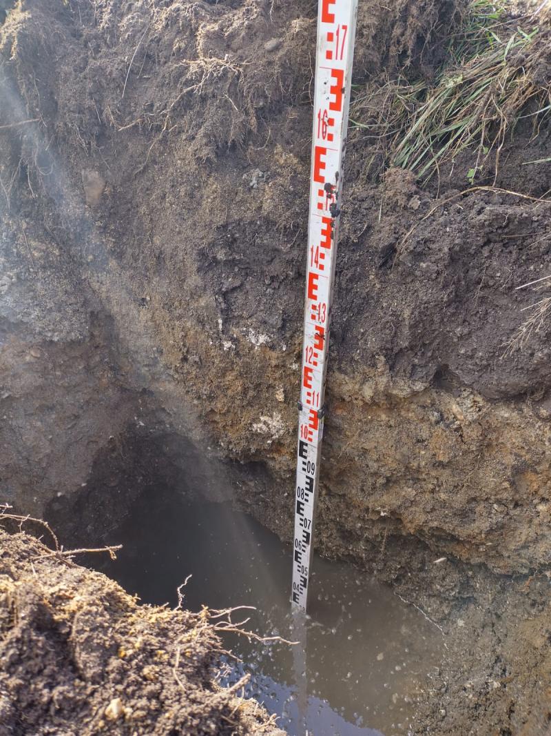
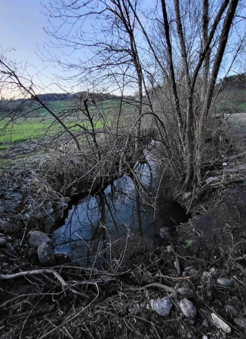
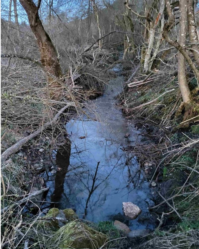
Metschacher Moos - Austria

DEIMS.ID
https://deims.org/8dafb02e-20a0-4d8f-8f12-8632bf13f0e0

 ProTip! Use the DEIMS.ID to reference sites in papers, reports or anywhere else.

Basic Information
Site Name
Metschacher Moos
Country
Austria
Site Description
During the Würm glaciation, the Glantal valley and its side valleys lay at the edge of the Alpine ice sheet and were fed by glacial movements and ice melt. The multi-layered soils and large amounts of groundwater turned the valley floor into moor landscapes -one of which we know as ‘Metschacher Moos’, located west of Zweikirchen in the municipality of Liebenfels. The land was gradually drained 150 years ago and the valley floors have been used for agriculture ever since. The presence of rare animal and plant species was recognised, as various areas in the valley were repeatedly surveyed and observed. In the 1990s, an area was leased by the state of Carinthia to study succession on agricultural land. When this project ended in 2022, attempts were made to protect the area from rezoning and the associated return to intensive agriculture. A joint effort led to the purchase of the land by the Sparkasse Kärnten private foundation, followed by a dedication to the University of Applied Sciences for the purposes of research and development and renaturation. Recently, the heavily degraded area was scarified, tilled and mowed repeatedly to reduce nitrogen and neophytes. Subsequently, a network of soil sensors was set up along the succession areas and expanded with water level loggers, acoustic loggers and camera traps. Nesting aids were set up, conservation measures were implemented and various modelling exercises were carried out. Grazing was also made possible in part of the area. Thanks to a comprehensive management plan, the once degraded area can now be transformed into both a biodiversity hotspot, and a unique outdoor laboratory for research, teaching and innovation.
Last modified
2026-06-09 14:51:00

CC-BY-NC Logo

General Characteristics and Status
Site Status
Operational
Photos
Areal image of the whole research area
Geographic
Centroid/Representative Coordinates

Latitude: 46.706596 Longitude: 14.240907

Size
ca. 6827809852.90ha
Elevation (average)
520.00msl
Download

Site information [.json]

Centroid/representative coordinates [.shp] [.kml] [.geojson]
Bounding Box [.shp] [.kml] [.geojson]