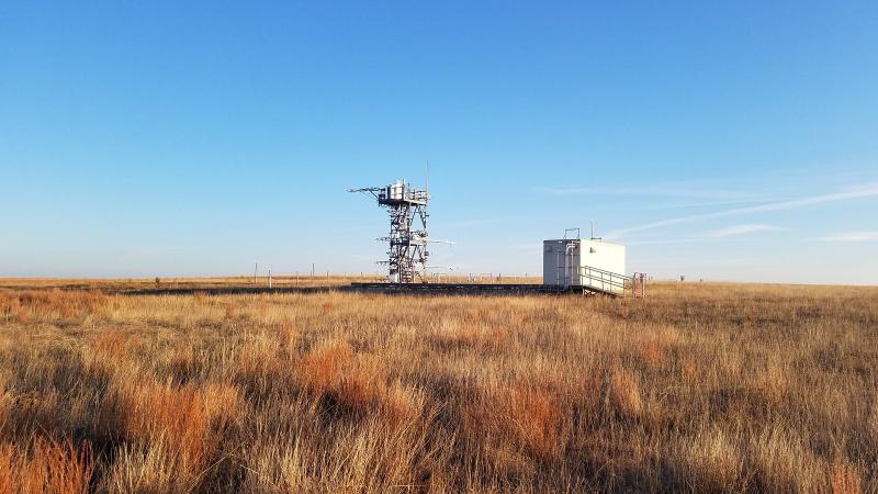
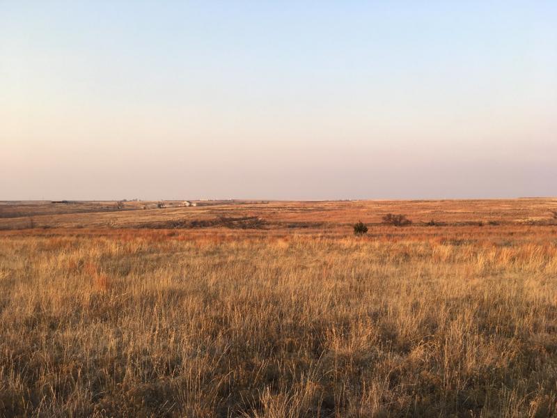
Marvin Klemme Range Research Station NEON - United States of America

Basic Information
Site Name
Marvin Klemme Range Research Station NEON
Short name
OAES
Country
United States of America
Site Manager
Site Description
Klemme Range Research Station is a relocatable field site and part of NEON's Southern Plains Domain 11. The 1,560-acre Klemme Range Research Station is a grassland site managed for livestock grazing and pasture, located in the middle of the Rolling Red Plains Resource Area. The Rolling Red Plains extends from south of the Red River to north of the Oklahoma/Kansas border consisting of approximately 9.4 million acres, which occupies a significant portion of Western Oklahoma excluding the Oklahoma Panhandle. NEON collects the standard suite of data at OAES, flux tower measurements and organismal data; however, data from this particular location supports greater understanding of land use change, climate change (particularly its role ...
Show more ...
Last modified
2021-03-03 11:03:20

CC-BY-NC Logo

General Characteristics and Status
Site Status
Operational
Year Established
2015
Observed properties
atmospheric parameterecosystem parameterbiological parameterchemical parametergenetic parameterlandscape parametersoil parameterairtemperatureheatfluxozoneconcentrationprecipitationintensitylatentheatleafareaindexplantdiversityspeciesabundanceabovegroundbiomasssoilcarbondioxydefluxDNAsequencelandcoversoilmoisturecontent
Affiliation and Network Specific Information
Affiliation
GERIThis site is a verified "GERI" member.
NEON (OAES)This site is a verified "NEON" member.
Photos
OAES Tower, Photo By: Allison Holdorf
Geographic
1 km
5000 ft
Centroid/Representative Coordinates

Latitude: 35.41059 Longitude: -99.05879

Elevation (average)
516.00msl
Elevation (min)
487.00msl
Elevation (max)
513.00msl
Download

Site information [.json]

Centroid/representative coordinates [.shp] [.kml]
Bounding Box [.shp] [.kml]
Boundaries [.shp] [.kml]