San Joaquin Experimental Range NEON - United States of America
DEIMS.ID
https://deims.org/94e73bd6-a98d-40f2-a764-447e38e31ec7
ProTip! Use the DEIMS.ID to reference sites in papers, reports or anywhere else.
Basic Information
Site Name
San Joaquin Experimental Range NEON
Short name
SJER
Country
United States of America
Web Address
Site Manager
Site Description
Last modified
2025-09-18 16:14:49
![]()
General Characteristics and Status
Site Status
Operational
Year Established
2016
Observed properties
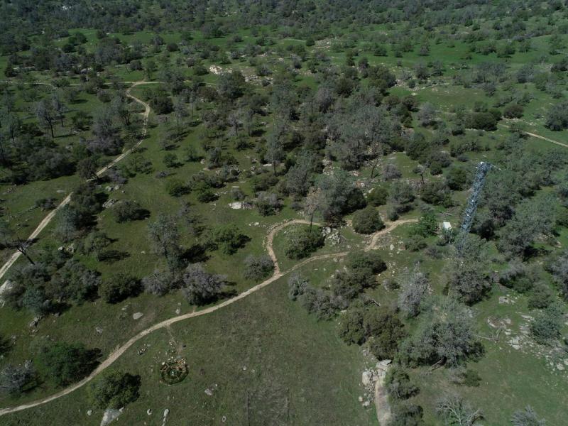
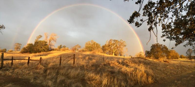
Photos
Geographic
Centroid/Representative Coordinates
Latitude: 37.10878 Longitude: -119.73228
Size
ca. 1822.00ha
Elevation (average)
400.00msl
Elevation (min)
252.00msl
Elevation (max)
502.00msl
Download