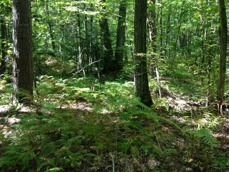
Harvard Forest & Quabbin Watershed NEON - United States of America

This record was created automatically using information from the:
Basic Information
Platform Icon

Site Name
Harvard Forest & Quabbin Watershed NEON
Short name
HARV
Country
United States of America
Site Manager
Site Description
Harvard Forest (HARV) is a terrestrial NEON field site located approximately 65 miles west of Boston, Massachusetts in the county of Worcester. The 48.1 km2 (11,900 acre) site has sampling plots within Harvard Forest (managed by Harvard University and the Harvard Forest Long Term Ecological Research (LTER) program) and the Quabbin Reservoir Watershed (managed by the Massachusetts Department of Conservation and Recreation). Regionally, HARV represents a typical northeastern rural/wildland, anchoring an urban-to-rural gradient from suburban areas outside Boston to the wildlands throughout New England, Maine, and New Hampshire. The site's dominant land cover is northern hardwood and coniferous forest, with some areas used for agriculture. HARV is located in the Northeast Domain (D01), which encompasses the New England and northern Eastern Seaboard states along with the northern end of the Appalachian range. D01 includes one other terrestrial site and one aquatic site. HARV is located near the Lower Hop Brook (HOPB) aquatic site.
Last modified
2025-09-17 14:09:45

CC-BY-NC Logo

General Characteristics and Status
Site Status
Operational
Year Established
2016
Observed properties
Affiliation and Network Specific Information
Affiliation
GERIThis site is a verified "GERI" member.
NEON (HARV)This site is a verified "NEON" member.
Photos
HARV canopy
HARV canopy
HARV vegetation
HARV vegetation
Geographic
Centroid/Representative Coordinates

Latitude: 42.5369 Longitude: -72.17266

Size
ca. 4900.00ha
Elevation (average)
348.00msl
Elevation (min)
160.00msl
Elevation (max)
415.00msl
Download

Site information [.json]

Centroid/representative coordinates [.shp] [.kml] [.geojson]
Bounding Box [.shp] [.kml] [.geojson]