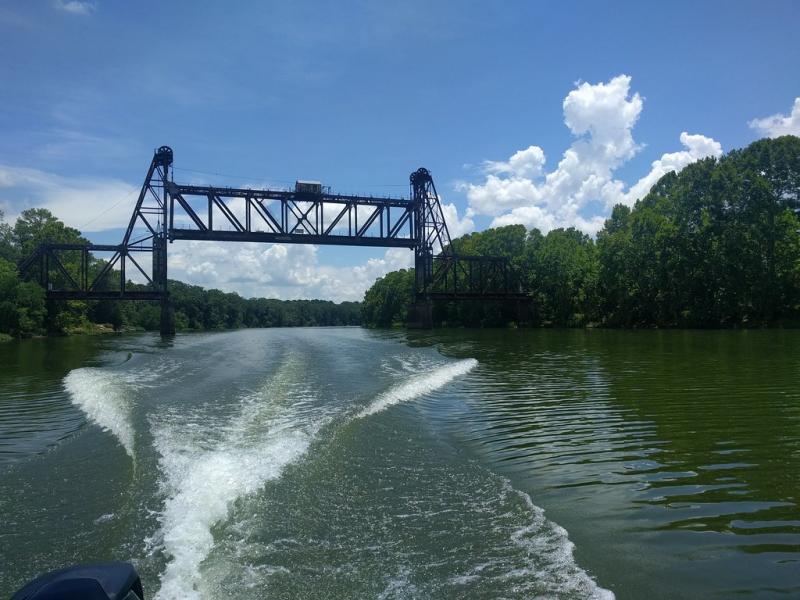
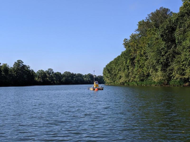
Black Warrior River NEON - United States of America

Basic Information
Site Name
Black Warrior River NEON
Short name
BLWA
Country
United States of America
Site Manager
Site Description
The Black Warrior River (BLWA) near Dead Lake is a relocatable aquatic site within NEON's Ozarks Complex Domain 7. The Black Warrior River is a waterway in west-central Alabama in the southeastern United States. The river rises in the extreme southern edges of the Appalachian Highlands and flows 178 miles (286 km) to the Tombigbee River, of which the Black Warrior is the primary tributary. Remote sensing surveys of this site collect lidar, spectrometer and high resolution RGB camera data. This site has one meteorological station located in the riparian area. The met station is outfitted with a subset of the same sensors used at terrestrial sites. Measurements include wind speed and direction, air temperature, barometric pressure, ...
Show more ...
Last modified
2021-03-03 11:03:17

CC-BY-NC Logo

General Characteristics and Status
Site Status
Operational
Year Established
2017
Observed properties
genetic parameterlandscape parameterwater parameterDNAsequencelandcoverwaterquality
Affiliation and Network Specific Information
Affiliation
GERIThis site is a verified "GERI" member.
NEON (BLWA)This site is a verified "NEON" member.
Photos
BLWA (c) Jamie Galloway
Geographic
Marker
300 km
200 mi
Centroid/Representative Coordinates

Latitude: 31.85388 Longitude: -88.16122

Size
ca. 1620000.00ha
Elevation (average)
1429.00msl
Elevation (min)
8.00msl
Elevation (max)
26.00msl
Download

Site information [.json]

Centroid/representative coordinates [.shp] [.kml]