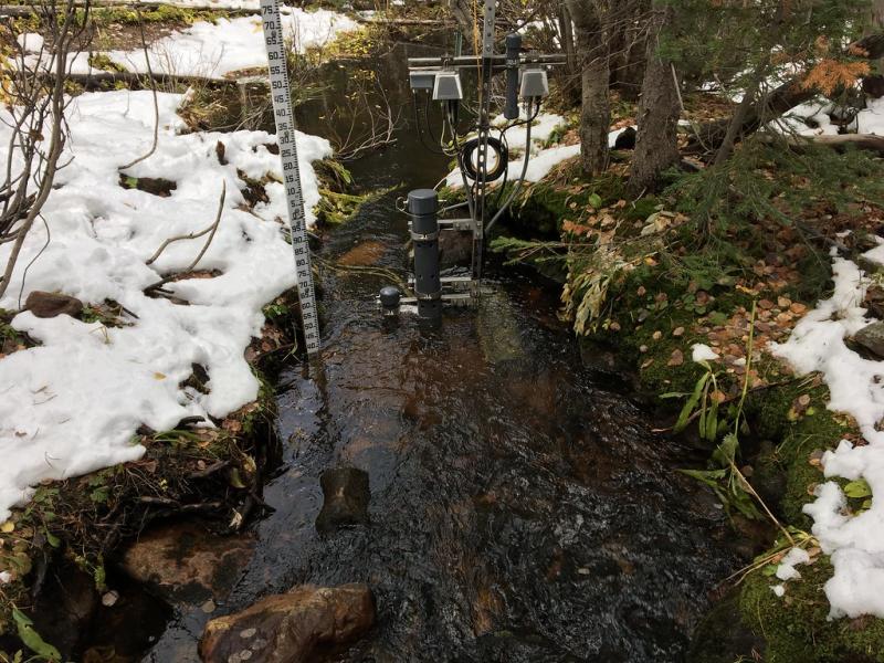
Como Creek NEON - United States of America

Basic Information
Platform Icon

Site Name
Como Creek NEON
Short name
COMO
Country
United States of America
Site Manager
Site Description
Como Creek (COMO) is a core aquatic site within NEON's Domain 13: Southern Rockies & Colorado Plateau. Como Creek is a headwater catchment spanning 2,900-3,560 m and is part of the Niwot Ridge Long Term Ecological Research Station and the Boulder Creek Critical Zone Observatory. Approximately 80% of the catchment is below treeline, primarily comprised of 100-year-old coniferous forest dominated by Picea Engelmannii (Engelmann spruce), Abies lasiocarpa (sub-alpine fir), Pinus flexilis (limber pine), and Populus tremuloides (quaking aspen). Alpine meadows bounded by ribbon forest characterize the landscape above treeline. Meadow soils are classified as a mixed Type Humicryepts, sandy-skeletal in texture. The soil is loamy sand to gravel with little clay content that is moderately-drained. The site has remained relatively undisturbed for the past fifty years, with no development, logging, or fire activity in the watershed. Snowmelt dominates the hydrologic and nutrient flux in this predominantly subalpine system. This site has one meteorological station located in the riparian area and one meteorological station above water on a buoy. The met stations are outfitted with the a subset of the same sensors used at terrestrial sites. Measurements include wind speed and direction, air temperature, barometric pressure, relative humidity, shortwave radiation, and PAR. Remote sensing surveys of this site collect lidar, spectrometer and high resolution RGB camera data. Four groundwater wells throughout the site collect specific conductivity, water tempertaure, and elevation of groundwater. This site has one buoy-mounted sensor station and an inlet station and outlet station. At the buoy, the automated instrument measurements are: PAR at water surface, PAR below water surface, temperature at a specific depth in surface water, water quality (specific conductivity, chlorophyll a, dissolved oxygen content, pH turbidity, and fDOM), and nitrate. At the inlet and outlet stations, the measurements are: PAR below water surface, elevation of surface water, and temperature in surface water. Field ecologists collect the following types of observational data at this site: aquatic organisms (Aquatic Microbes (surface water),macroinvertebrates microalgae, plants and macroalgae, zooplankton. Biogeochemical data on plants,sediment water and particulates.As well as physical aquatic data on bathymetric maps, stage,secchi depth and depth profiles, and riparian assessment.Total data products planned for this site: 77
Last modified
2020-07-27 10:07:59

CC-BY-NC Logo

General Characteristics and Status
Site Status
Operational
Year Established
2015
Observed properties
Affiliation and Network Specific Information
Affiliation
GERIThis site is a verified "GERI" member.
NEON (COMO)This site is a verified "NEON" member.
Photos
Sensors at COMO
Sensors at COMO
Geographic
Elevation (average)
3167.00msl
Elevation (min)
2975.00msl
Elevation (max)
3583.00msl
Download

Site information [.json]

Centroid/representative coordinates [.shp] [.kml]