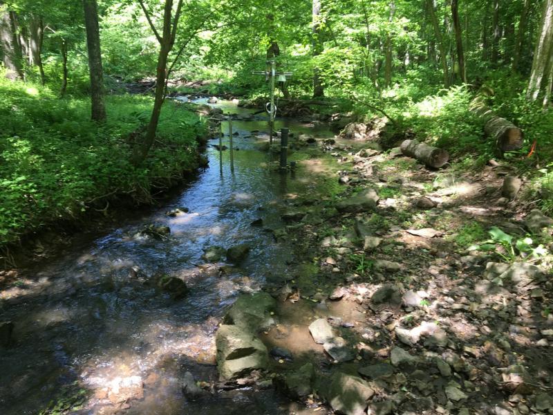
Posey Creek NEON - United States of America

Basic Information
Site Name
Posey Creek NEON
Short name
POSE
Country
United States of America
Site Manager
Site Description
The Posey Creek (POSE) core aquatic site is part of NEON's Mid-Altantic Domain 2 sites. POSEY is a wadeable stream near Front Royal, VA and is located on the Smithsonian Conservation Biology Institute land. It is a shallow stream (<40 cm at average flow) and 3 - 5 m wide (6 meters wide during high flows). This site has one meteorological station located in the riparian area. The met station is outfitted with a subset of the same sensors used at terrestrial sites. Measurements include wind speed and direction, air temperature, barometric pressure, relative humidity, shortwave radiation, and PAR. This site has one upstream sensor station and one downstream sensor station. Measurements include PAR, temperature, water quality ...
Show more ...
Last modified
2020-07-27 09:07:26

CC-BY-NC Logo

General Characteristics and Status
Site Status
Operational
Year Established
2015
Observed properties
chemical parameterbiological parameterecosystem parameterwater parametercarbontonitrogenratiosoilalkalinitysoilnutrientbiologicaldiversitylandcovertypewaterquality
Affiliation and Network Specific Information
Affiliation
GERIThis site is a verified "GERI" member.
NEON (POSE)This site is a verified "NEON" member.
Photos
POSE sensor set
POSE sensor set
Geographic
Marker
300 km
200 mi
Centroid/Representative Coordinates

Latitude: 38.89332 Longitude: -78.14678

Size
ca. 200.00ha
Elevation (average)
341.00msl
Download

Site information [.json]

Centroid/representative coordinates [.shp] [.kml]