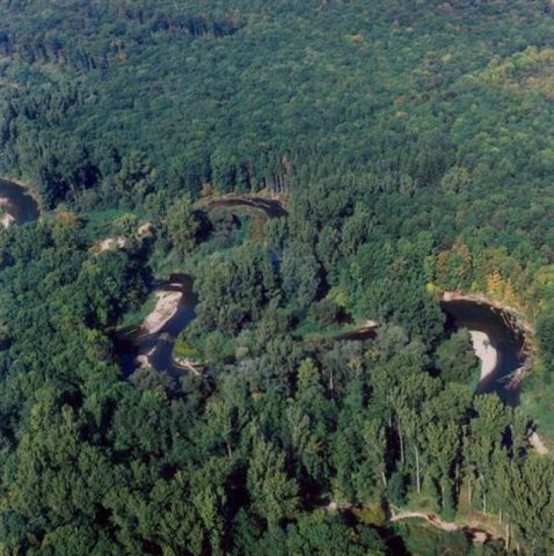
Vrapac-Sargoun - Czechia

This site has been closed down.
Basic Information
Site Name
Vrapac-Sargoun
Short name
Vrapac-Sargoun
Country
Czechia
Site Description
Litovelské Pomoraví is a uniquely well-preserved floodplain of the Morava River which encompasses complexes of close-to-nature floodplain forests in the Upper Morava River valley. The anastomosing river system (a meandering primary channel branching into a complex network of auxiliary streams, both permanent and periodic) constitutes a floodplain covering approximately 100 km2. The biotopes of periodic river pools are inhabited by distinctive crustacean communities which include a number of critically endangered species. The floodplain encompasses a diverse mosaic of wetlands, natural alluvial meadows and various types of floodplain forest biotopes, including transitions into oak-hornbeam forests and thermophilic oak forests on loes edges of the floodplain. The area where the Litovelské Pomoraví floodplain converses with the Devon karst area houses inversion beech forests. The LTER site consists of two reference plots (Vrapac, Šargoun), which encompass vast complexes of continuous floodplain forest in the Morava floodplain. Detailed historic research of forest stand development as well as pedologic and phytocoenologic research were conducted on both reference plots. Biota inventories are gradually carried out (mycological and floristic inventories have already been completed, including inventories of cryptogams, periodic pools communities, diurnal butterflies and beetles as well as bird assemblages, small terrestrial mammals and bats). Interception trap inventory of invertebrates inhabiting the canopy of floodplain forests is underway at present. The current monitoring focuses on the dynamics of wood debris development in streams and its impact on the succession of floodplain forest initial stages. At present, monitoring of selected ecosystem components encompasses long-term monitoring of the re-introduced European beaver populations, the impact of ungulate mammals on natural forest regeneration as well as ornithological monitoring focused on development trends in floodplain forest bird assemblages and on breeding bird assemblages of the meandering river.
Last modified
2020-11-27 02:11:53

CC-BY-NC Logo

General Characteristics and Status
Site Status
Closed
Year Established
1997
Affiliation and Network Specific Information
Photos
not defined
not defined
Geographic
Centroid/Representative Coordinates

Latitude: 49.7047 Longitude: 17.0358

Elevation (average)
235.00msl
Elevation (min)
232.00msl
Elevation (max)
237.00msl
Download

Site information [.json]

Centroid/representative coordinates [.shp] [.kml]
Bounding Box [.shp] [.kml]
Boundaries [.shp] [.kml]