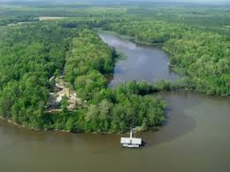
VCU Rice Rivers Center 280 - United States of America
DEIMS.ID
https://deims.org/e17279ea-aacf-4c4b-9d81-bb48bad3b00c
ProTip! Use the DEIMS.ID to reference sites in papers, reports or anywhere else.
Basic Information
Site Name
VCU Rice Rivers Center 280
Country
United States of America
Web Address
Site Manager
Site Description
Last modified
2019-12-05 10:07:36
![]()
Affiliation and Network Specific Information
Projects
Photos

Geographic
Sites are only displayed in the site overview map if they have set an active site status.
Centroid/Representative Coordinates
Latitude: 37.326024 Longitude: -77.205644
Size
ca. 200.00ha
Download