Pringle Creek NEON - United States of America
DEIMS.ID
https://deims.org/e9636471-06b8-4bc7-a14b-e6a4a698a838
ProTip! Use the DEIMS.ID to reference sites in papers, reports or anywhere else.
This record was created automatically using information from the:
Basic Information
Site Name
Pringle Creek NEON
Short name
PRIN
Country
United States of America
Web Address
Site Manager
Site Description
Last modified
2025-09-17 11:08:38
![]()
General Characteristics and Status
Site Status
Operational
Year Established
2016
Observed properties
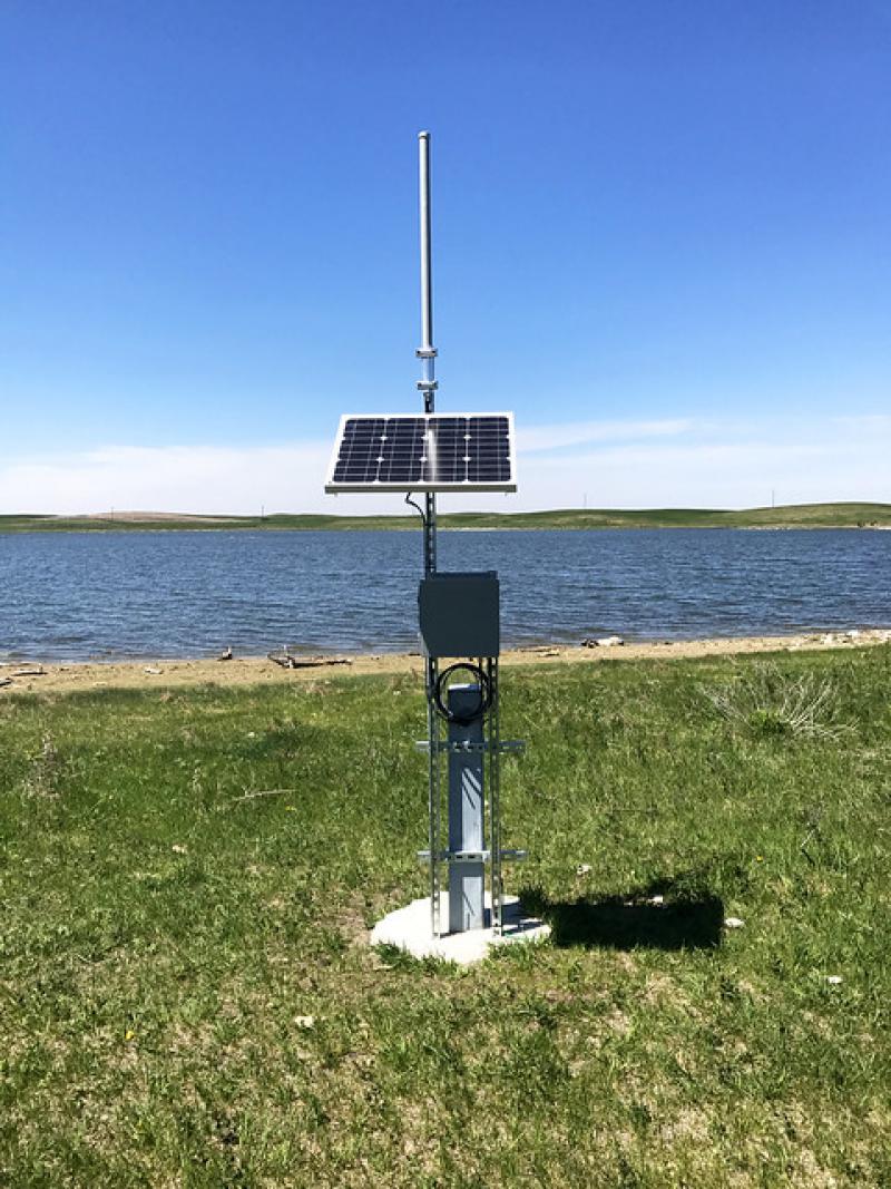
Photos
Geographic
Centroid/Representative Coordinates
Latitude: 33.37859 Longitude: -97.78226
Size
ca. 4910.00ha
Elevation (average)
253.00msl
Elevation (min)
258.00msl
Elevation (max)
334.00msl
Download