McRae Creek NEON - United States of America

Basic Information
Site Name
McRae Creek NEON
Short name
MCRA
Country
United States of America
Site Manager
Site Description
The NEON site McRae Creek (MCRA) is a relocatable aquatic site located within the HJ Andrews Experimental Forest, 80 km east of Eugene, OR in the Western Cascade Mountains. It is a third-order stream that drains an old-growth coniferous forested watershed. HJ Andrews is a 15,800 acres ecological research site that is administered by Oregon State University, the USDA Forest Service's Pacific Northwest Research Station, and the Willamette National Forest. It has been a part of the National Science Foundation's Long-Term Ecological Research Program since 1980. It mainly consists of dense forests filled with cedar, hemlock, and Douglas fir trees; many of which are at least 300 years old and can grow as high as 75 meters. The Domain hosts a total of three other field sites, one more aquatic and two terrestrial; all of which are located in Washington state. Remote sensing surveys of this site collect lidar, spectrometer and high resolution RGB camera data. This site has one meteorological station located in the riparian area. The met station is outfitted with a subset of the same sensors used at terrestrial sites. Measurements include wind speed and direction, air temperature, barometric pressure, relative humidity, shortwave radiation, and PAR. This site has one upstream sensor station and one downstream sensor station. Measurements include PAR, temperature, water quality [specific conductivity, chlorophyll a, dissolved oxygen content, pH, turbidity, and fluorescent dissolved organic matter (only downstream)], and nitrate is measured at the downstream station. Due to logistical and permitting issues, this aquatic site does not have groundwater wells. Field ecologists collect the following types of observational data at this site: aquatic organisms (Aquatic Microbes (surface water),macroinvertebrates microalgae, plants and macroalgae, zooplankton. Biogeochemical data on plants,sediment water and particulates.As well as physical aquatic data on bathymetric maps, stage,secchi depth and depth profiles, and riparian assessment.
Last modified
2021-03-03 11:03:31

CC-BY-NC Logo

General Characteristics and Status
Site Status
Operational
Year Established
2017
Observed properties
Affiliation and Network Specific Information
Affiliation
GERIThis site is a verified "GERI" member.
NEON (MCRA)This site is a verified "NEON" member.
Photos
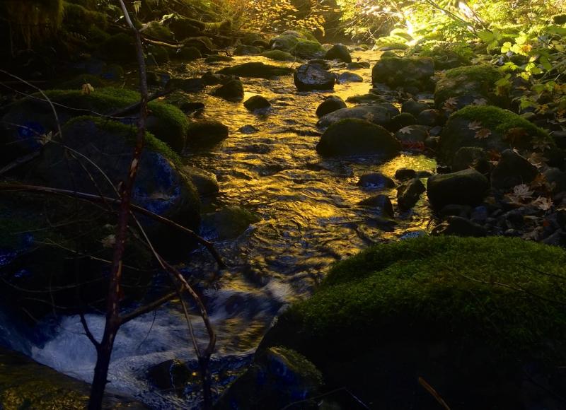
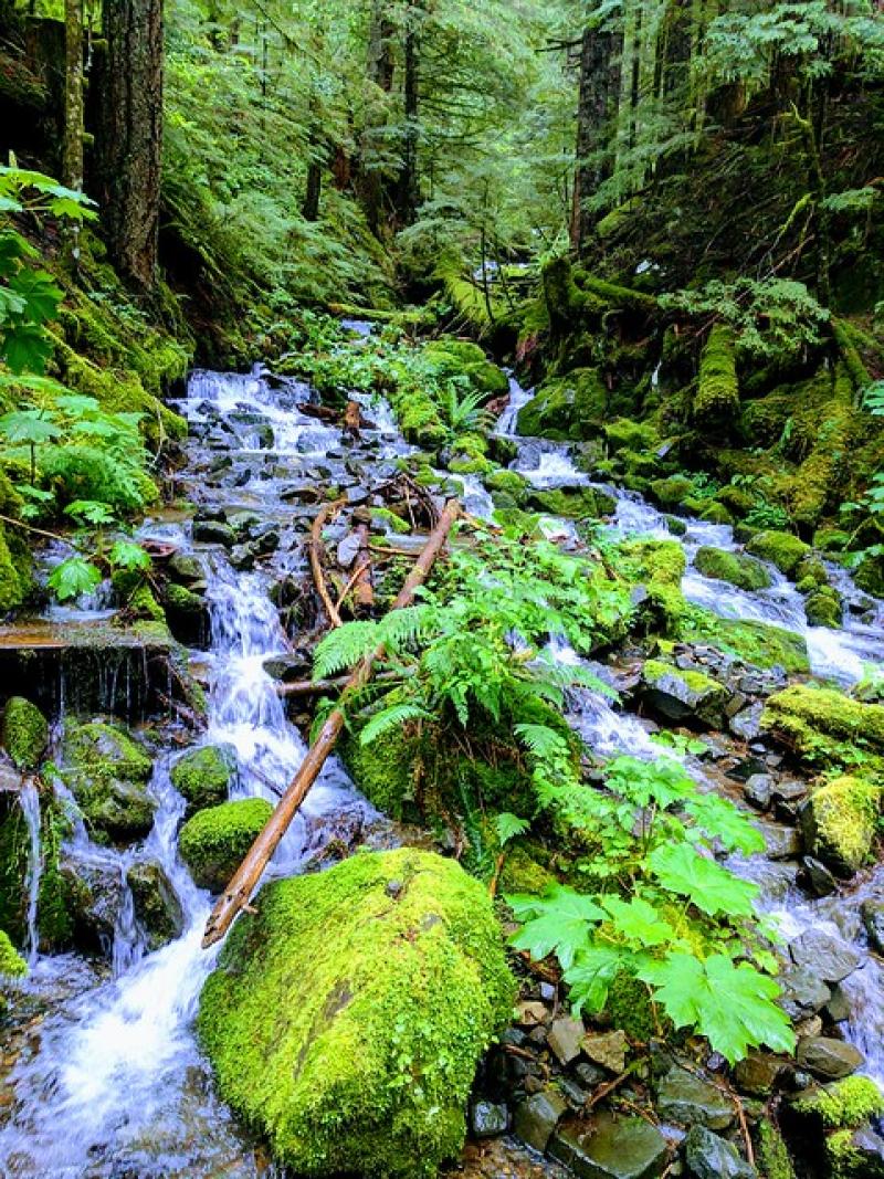
MCRA McRae Creek
MCRA McRae Creek
MCRA McRae Creek
MCRA McRae Creek
Geographic
Centroid/Representative Coordinates

Latitude: 44.2596 Longitude: -122.16555

Elevation (average)
833.00msl
Elevation (min)
550.00msl
Elevation (max)
1250.00msl
Download
Site information [.json]

Centroid/representative coordinates [.shp] [.kml]