Prairie Pothole NEON - United States of America
DEIMS.ID
https://deims.org/f22236b4-e63c-44bc-b0bc-112a96453166
ProTip! Use the DEIMS.ID to reference sites in papers, reports or anywhere else.
This record was created automatically using information from the:
Basic Information
Site Name
Prairie Pothole NEON
Short name
PRPO
Country
United States of America
Web Address
Site Manager
Site Description
Last modified
2025-09-18 15:40:21
![]()
General Characteristics and Status
Site Status
Operational
Year Established
2014
Observed properties
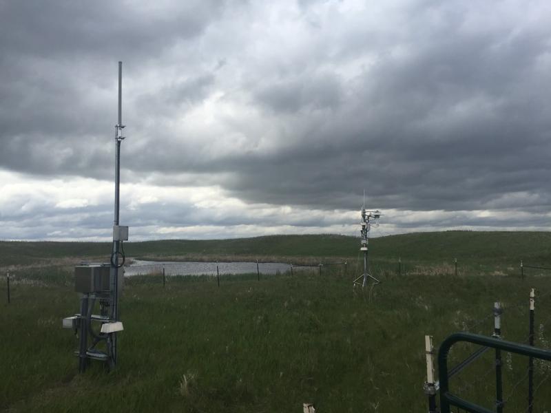
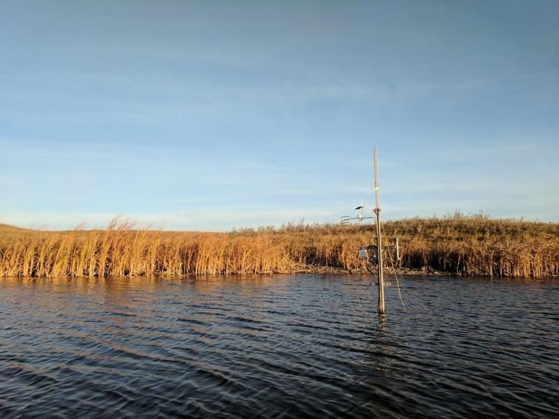
Photos
Geographic
Centroid/Representative Coordinates
Latitude: 47.12999 Longitude: -99.25055
Size
ca. 138.00ha
Elevation (average)
579.00msl
Elevation (min)
569.00msl
Elevation (max)
606.00msl
Download