Healy NEON - United States of America
DEIMS.ID
https://deims.org/f530cc5c-712c-4439-9822-c391a513d792
ProTip! Use the DEIMS.ID to reference sites in papers, reports or anywhere else.
This record was created automatically using information from the:
Basic Information
Site Name
Healy NEON
Short name
HEAL
Country
United States of America
Web Address
Site Manager
Site Description
Last modified
2025-09-17 14:45:45
![]()
General Characteristics and Status
Site Status
Operational
Year Established
2014
Observed properties
Photos
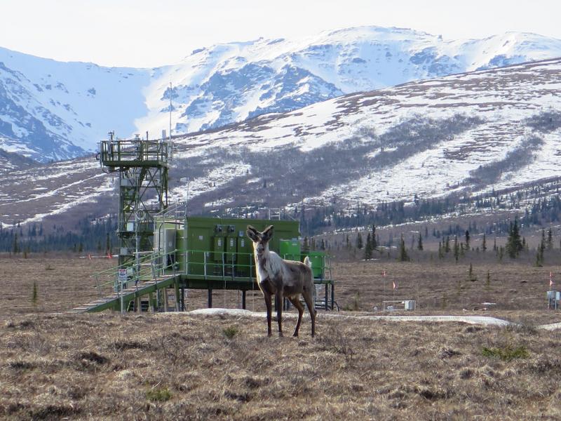
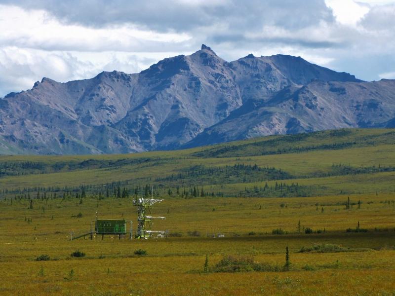
Geographic
Centroid/Representative Coordinates
Latitude: 63.87569 Longitude: -149.21334
Size
ca. 4517.00ha
Elevation (average)
677.00msl
Elevation (min)
588.00msl
Elevation (max)
717.00msl
Download