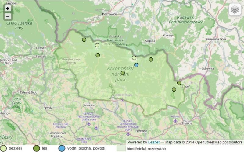
Krkonose/Karkonosze - Czechia

This site has been closed down.
Basic Information
Platform Icon

Site Name
Krkonose/Karkonosze
Short name
LTSER Krkonose
Country
Czechia
Operating Organisation
Site Description
The Krkonoše Mts. are the highest Hercynian mountains and are situated close to the 50°N and creates a natural mountain ridge, which stops the humid and cold west winds coming from the Atlantic Ocean. As a consequence, there is a high precipitation and low average temperature in the Krkonoše Mts and therefore, the climate is more humid, rougher and colder than in the Tatra Mts. or the Bohemian Forest, and has a strong oceanic character. The living nature is divided into several altitude vegetation belts on the slopes of the Krkonoše Mts. They are a result of many different natural conditions – latitude, altitude, geological bedrock, orientation and decline of the slopes, temperature, precipitation, wind currents, snow cover and ...
Show more ...
Last modified
2021-11-19 15:11:53

CC-BY-NC Logo

General Characteristics and Status
Site Status
Closed
Year Established
2009
Observed properties
ecosystem parameterbiological parameteratmospheric parameterlandscape parameterchemical parameterenvironmental parametertreedistributionabovegroundnetprimaryproductiondisturbancepatternecosystemstructureforeststructurecanopygapareasapwoodareahabitatstructuregroundwaterlevelheatflowlatentheatlitterresidencetimenaturalnessnormalizedvegetationindexcommunitycompositiondeadwooddecayingratefaunisticdiversityfloristicdiversityspecieslistspeciescompositionplantspeciescompositionspeciesrichnessspeciesabundancespeciespresencesoilheatfluxmicrobialdiversitysoilmicrobialdiversitysoilorganicresidualsoilsoluteamountspeciesturnovervegetationreflectancediversityindextreediameteratbreastheightplantheightplantnutrientplanttranspirationrootdensityrootgrowthraterootlengthcanopycoverratetreeagetreediametertreeheightleafareanitrogencontentageclasschangeinpopulationsizeovertimepopulationsizetreeconditiontreebasalarealeafarearatioatmospherestabilityatmosphericpressureinterceptionprecipitationintensitysnowdepthsnowtemperaturesnowwaterequivalentskytemperaturewinddirectionwindspeedplantcarbonconcentrationlandcoverlanduselanduseintensitylandscapecompositionlandscapeconfigurationlandscapefragmentationlandscapeconnectivitylandscapemetricspatchdensitypatchsizebelowgroundautotrophicrespirationsoilorganicresidualtotalcarbontotalorganiccarbonpercentcarbonabioticheterogeneity
Affiliation and Network Specific Information
Photos
not defined
not defined
Geographic
3 km
3 mi
Sites are only displayed in the site overview map when they have set an active site status.
Centroid/Representative Coordinates

Latitude: 50.6147 Longitude: 15.3667

Size
ca. 54800.00ha
Elevation (average)
845.00msl
Elevation (min)
480.00msl
Elevation (max)
1602.00msl
Download

Site information [.json]

Centroid/representative coordinates [.shp] [.kml]
Bounding Box [.shp] [.kml]
Boundaries [.shp] [.kml]