catchment area
General Information
UUID
39cc52c2-b0d5-4e6a-b2ea-17ce07087fb4
Location Type
Description
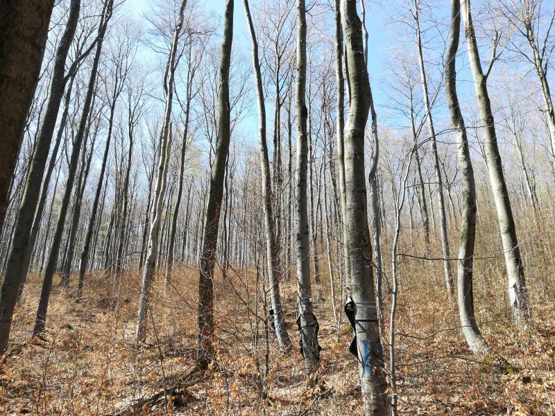
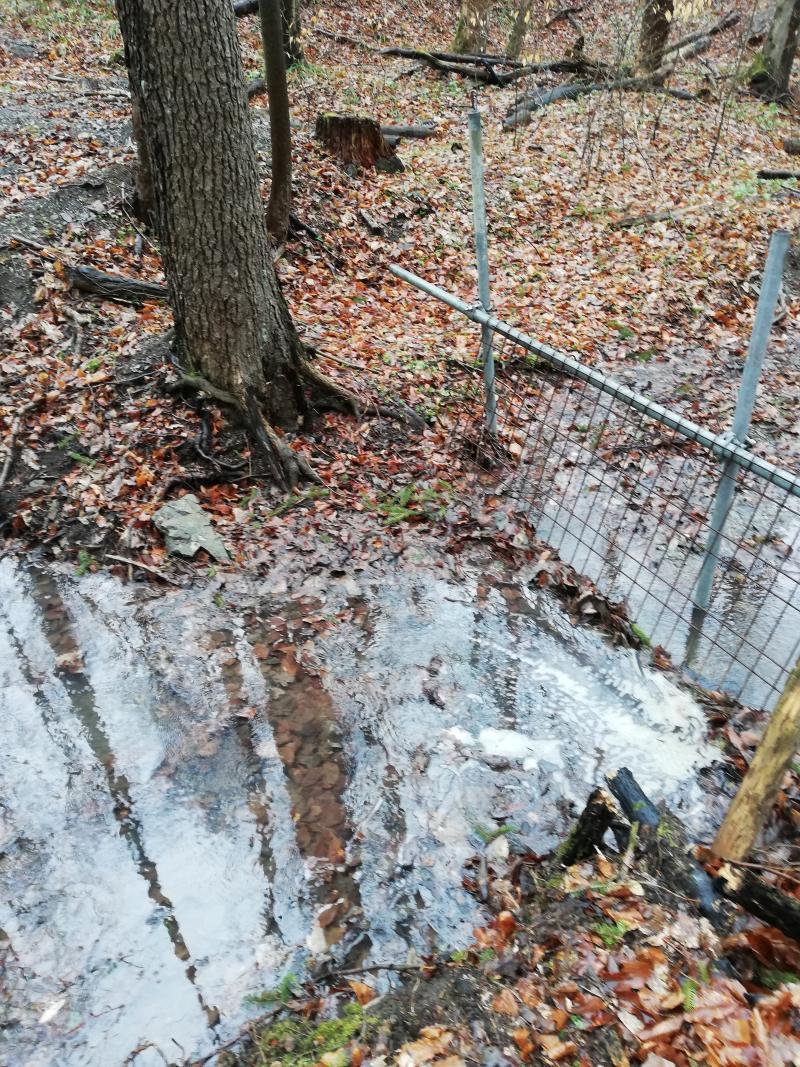
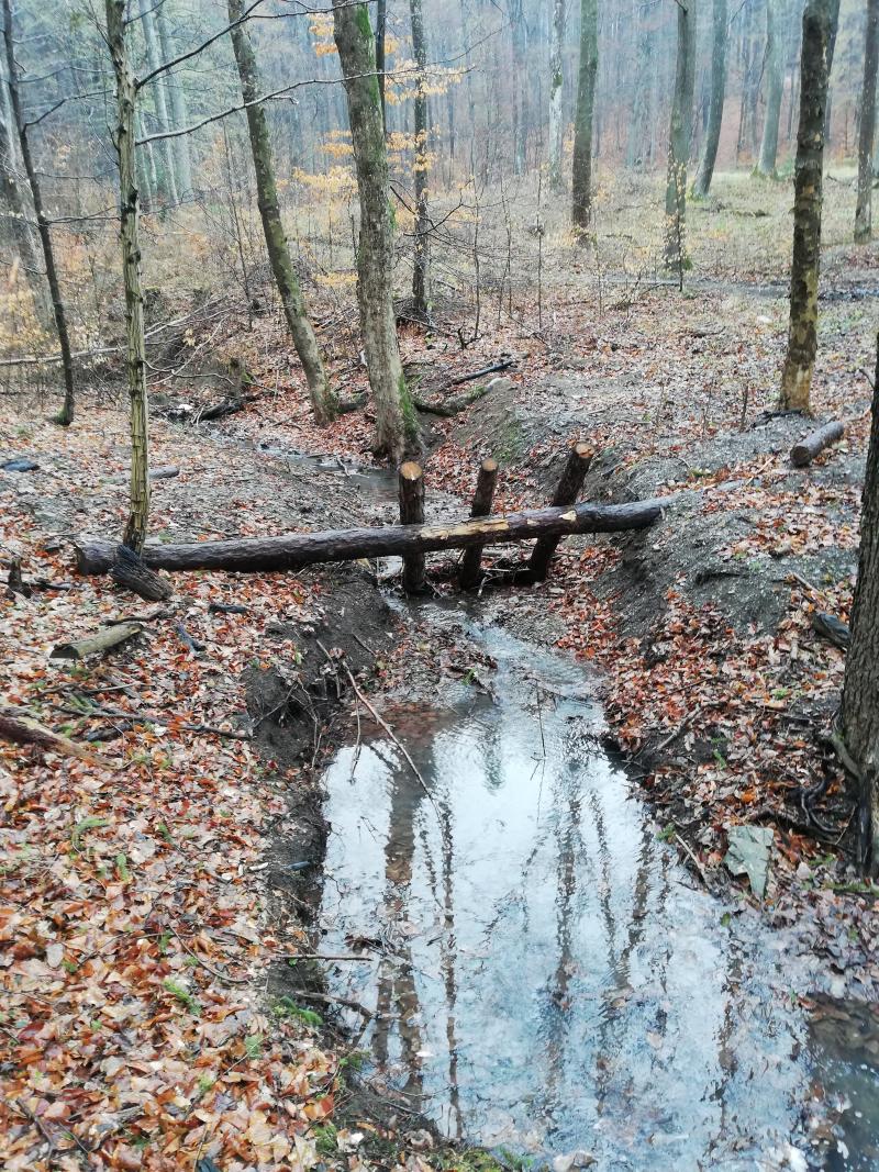
The Austrian Research Infrastructure LTER-CWN (Long-Term Ecosystem Research Infrastructure for Carbon,
Water and Nitrogen) aims for measuring extreme climate events in high temporal resolution. Within the framework of this project a measuring weir was installed near Klausen-Leopoldsdorf (Lower Austria) to collectdata of stream-water quantity and quality. The hydrological catchment have a size at about 45.7 hectares. The main river length is 702m.
Geomorphology: specific: “Flyschzone”
Dominating soil types: planosols and stagnosols.