Auradé flux site
General Information
UUID
566ecb31-8fc9-41ac-a163-2a444eaa61a0
Location Type
Description
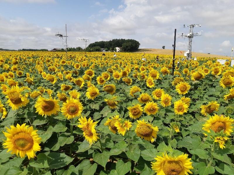
This is the crop plot where the eddycovariance flux tower is implemented sunce 2004 to now. The site follow a Winter wheat/ rapeseed/ winter wheat/sunflower rotation. The site belongs to a private farmer producing cereal. Straw is left on site, only the grain are exported. Measurement are done continuously, at a half-hourly time step to monitor traditional meteorological variables, incoming and outgoing radiation, soil water content and temperature, air relative humidity, temperature and pressure, and so on...