Skip to main content
Home
Explore
All Sites
European LTER Sites
Site Map
Networks
Log in
LTER Zöbelboden BD1
General Information
UUID
85c7e27b-c9b0-4207-a6e2-b39341362510
Related Site
LTER Zöbelboden - Austria
Location Type
Sampling Location
Description
Plot for biodiversity monitoring; was first used for the Lifeplan sampling and further on for eLTER biodiversity monitoring (malaise trap, bioacoustics, eDNA soil, cyclon sampler)
Images
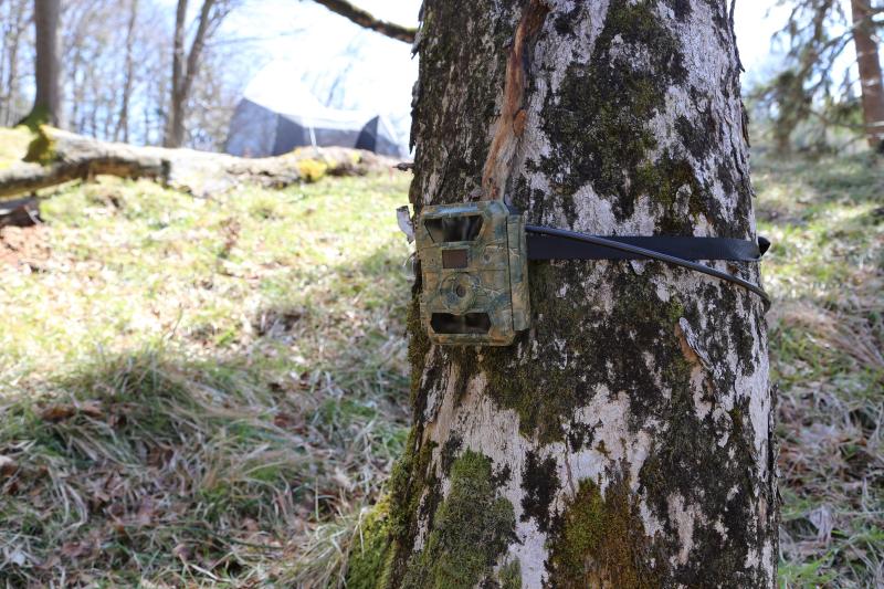
Camera, (c) Umweltbundesamt
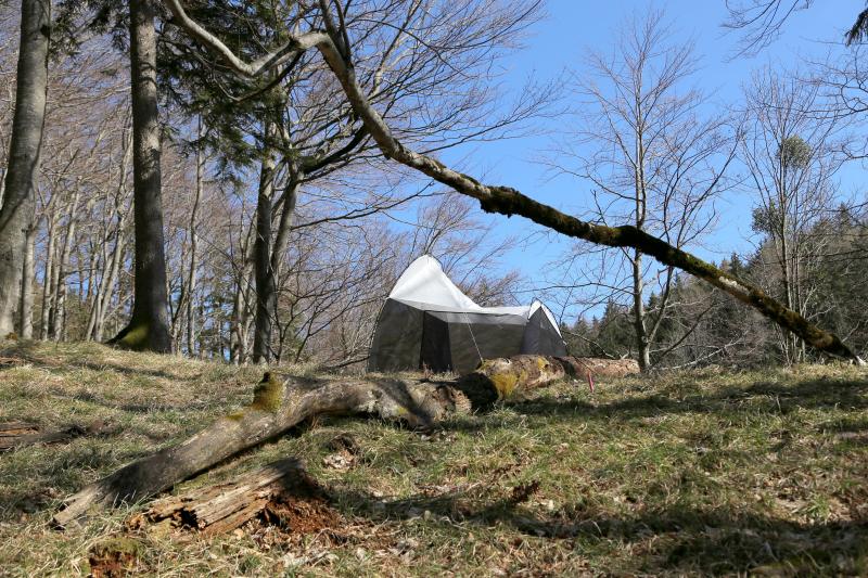
Malaise trap, (c) Umweltbundesamt
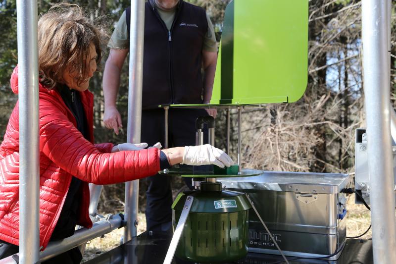
Cyclon sampler, (c) Umweltbundesamt
Previous
Next
Geographic
Download Record
[.json]
Download Boundaries
[.shp]
[.kml]
Size (calculated automatically)
ca. 0.58ha
Elevation (min)
850.00msl
Elevation (max)
890.00msl