ICP forest intensive measuring plot
General Information
UUID
cee4bd99-c788-437d-8a58-e61723803e74
Location Type
Description
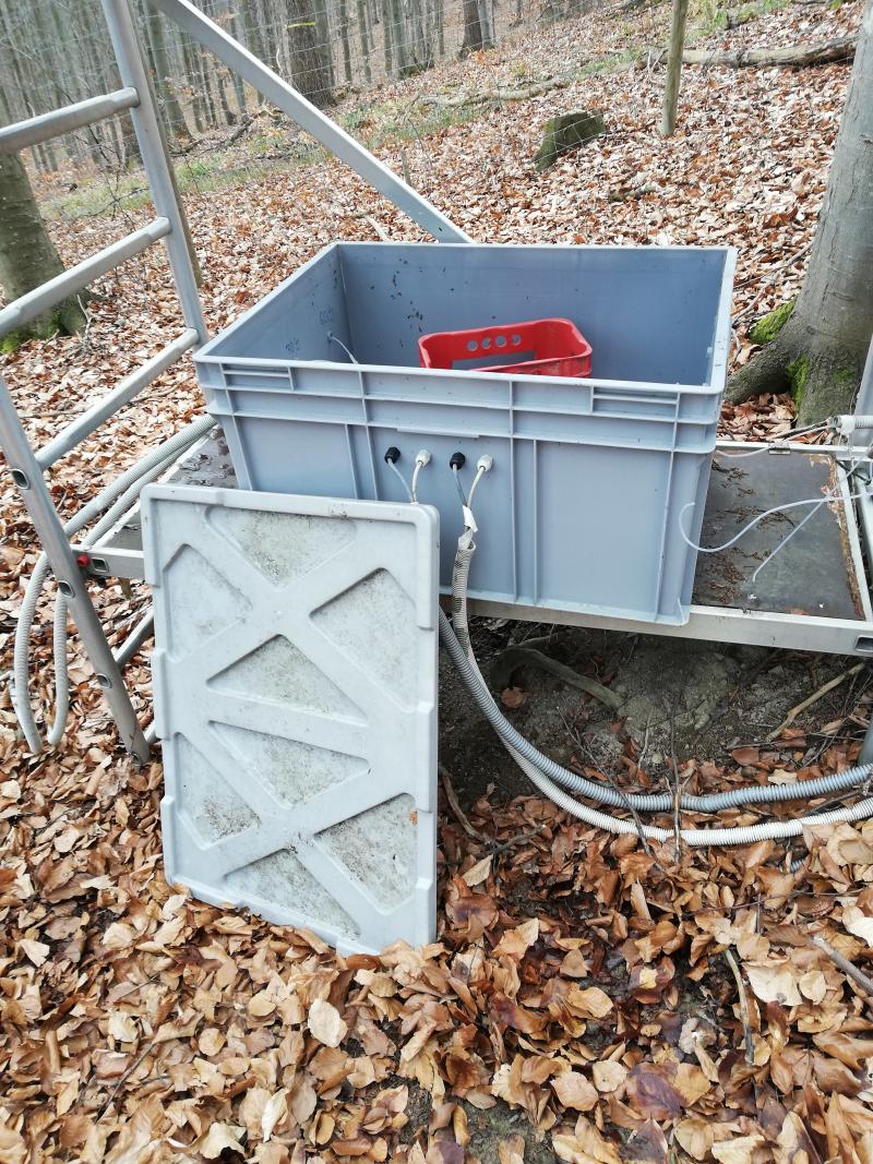
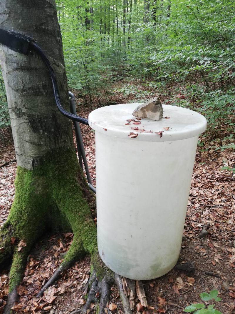
Since the mid-1980s, the condition of the Vienna Woods has been monitored by BFW (Federal Research and Training Centre for Forests, Natural Hazards and Landscape) as part of national and international forest monitoring programmes. In the beginning, the focus of the investigations was on the consequences of "acid rain", i.e. air pollution from industry. In recent decades, the observation of the consequences of climate change on forest growth, forest biodiversity and forest soil condition has been added. The observation methods have been successively expanded and technically updated. In 1995, for example, intensive monitoring plots were established as part of the Europe-wide forest monitoring ICP Forests (Level II plots). The Klausen-Leopoldsdorf plot, proviedes high-quality data on the vitality and adaptability of forest trees, nutrient cycles, critical load rates and the water balance. In 2009/10, under the project "Further Development and Implementation of an EU-Level Forest Monitoring System" (FutMon), six Level II plots - including the intensive monitoring plot Klausen-Leoplodsdorf - were technically upgraded to "core intensive monitoring plots" with funds from LIFE+. A further update took place in 2009, when, among other things, continuously measuring tree girth gauges and soil moisture sensors were installed.
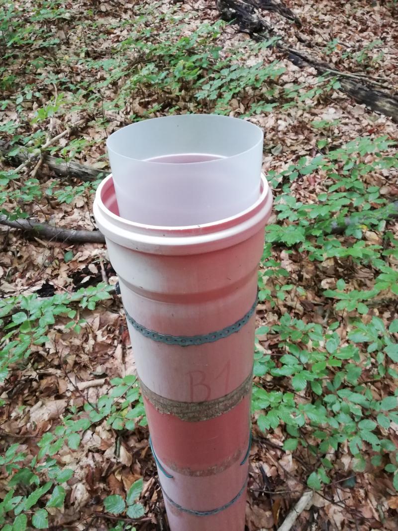
And in 2019, the forest area near Klausen-Leopoldsdorf was upgraded to one of six observation stations of the LTER-CWN infrastructure project. This FFG-funded project specifically supports long-term ecological research in ecosystems typical for Austria and equips them with the state-of-the-art measuring devices. The new measuring instruments include, for example, gas measuring chambers to determine carbon dioxide release from the soil, sap flow measuring system to determine stand evaporation and trees with permanent dendrometer measuring devices.
And in 2019, the forest area near Klausen-Leopoldsdorf was upgraded to one of six observation stations of the LTER-CWN infrastructure project. This FFG-funded project specifically supports long-term ecological research in ecosystems typical for Austria and equips them with the state-of-the-art measuring devices. The new measuring instruments include, for example, gas measuring chambers to determine carbon dioxide release from the soil, sap flow measuring system to determine stand evaporation and trees with permanent dendrometer measuring devices.