LTSER Zone Atelier du Bassin de la Moselle - Orne Watershed - France
DEIMS.ID
https://deims.org/065ab7b8-15a4-4362-8697-5df0d6da3e0e
ProTip! Use the DEIMS.ID to reference sites in papers, reports or anywhere else.
Basic Information
Site Name
LTSER Zone Atelier du Bassin de la Moselle - Orne Watershed
Short name
ZAM_Orne_valley
Country
France
Last modified
2023-07-25 14:07:16
![]()
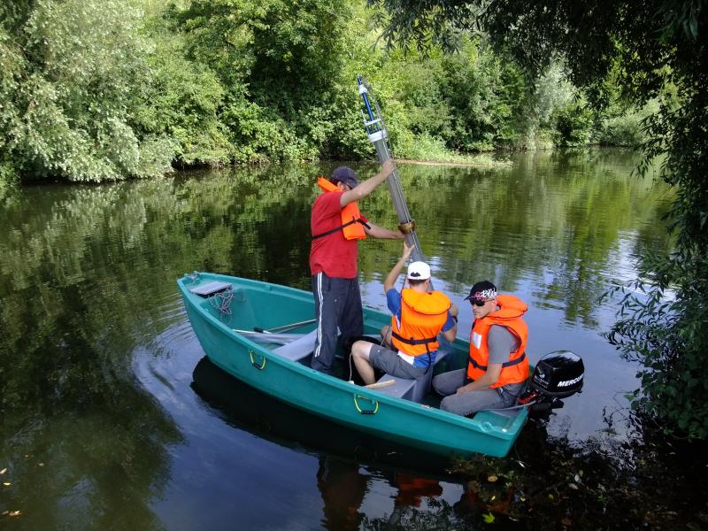
Photos


Geographic
Sites are only displayed in the site overview map if they have set an active site status.
Centroid/Representative Coordinates
Latitude: 49.176734533918 Longitude: 5.7730337470526
Size
ca. 8500.00ha
Download