Sycamore Creek NEON - United States of America

Basic Information
Platform Icon

Site Name
Sycamore Creek NEON
Short name
SYCA
Country
United States of America
Site Manager
Site Description
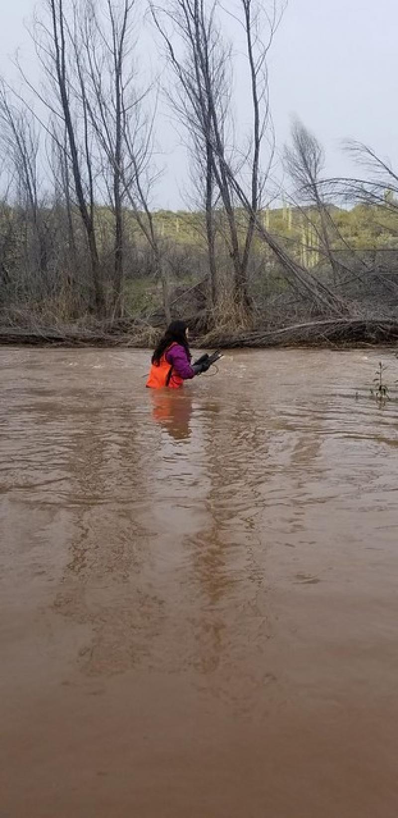
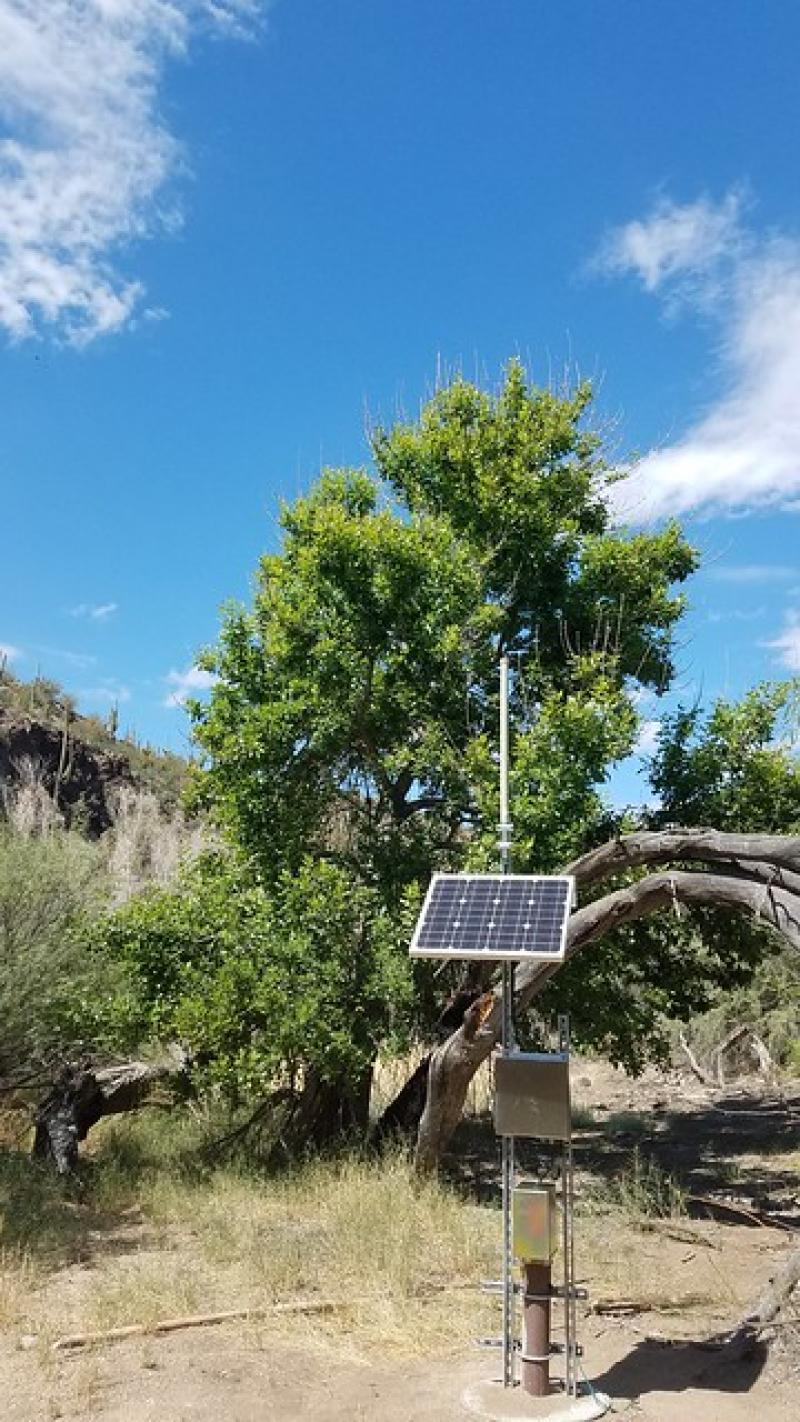
Sycamore Creek (SYCA) is a core aqautic site within NEON's Domain 14: Desert Southwest. Sycamore Creek is a shallow desert stream situated roughly 35 km northeast of Phoenix, Arizona in the Tonto National Forest. This core aquatic NEON site is hosted and managed by the United States Forest Service. The catchment area of the drainage basin is 505 km². The creek's headwaters begin on the eastern slopes of the Mazatzal Mountains and head south toward its confluence with the Verde River. This site has one meteorological station located in the riparian area and one meteorological station above water on a buoy. The met stations are outfitted with the a subset of the same sensors used at terrestrial sites. Measurements include wind ...
Show more ...
Last modified
2020-11-27 14:11:46

CC-BY-NC Logo

General Characteristics and Status
Site Status
Operational
Year Established
2015
Observed properties
genetic parameterlandscape parameterwater parameterDNAsequencelandcoverwaterquality
Affiliation and Network Specific Information
Affiliation
GERIThis site is a verified "GERI" member.
NEON (SYCA)This site is a verified "NEON" member.
Photos
SYCA
SYCA
Geographic
Marker
300 km
200 mi
Centroid/Representative Coordinates

Latitude: 33.74906 Longitude: -111.5069

Size
ca. 27300.00ha
Elevation (average)
727.00msl
Elevation (min)
396.00msl
Elevation (max)
2408.00msl
Download
Site information [.json]

Centroid/representative coordinates [.shp] [.kml]