Třeboň wet meadows - Czechia
DEIMS.ID
https://deims.org/13359776-ca92-4667-a2ba-587edbefce3e
ProTip! Use the DEIMS.ID to reference sites in papers, reports or anywhere else.
Basic Information
Site Name
Třeboň wet meadows
Short name
Wet Meadows
Country
Czechia
Operating Organisation
Site Manager
Site Description
Last modified
2024-09-12 17:38:06
![]()
General Characteristics and Status
Site Status
Operational
Year Established
1977
Observed properties
Affiliation and Network Specific Information
Affiliation
CZ-LTER✔This site is a verified "CZ-LTER" member.
ILTER✔This site is a verified "ILTER" member.
LTER Europe✔This site is a verified "LTER Europe" member.
GERI✔This site is a verified "GERI" member.
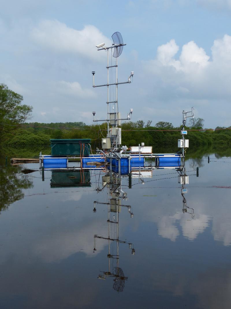
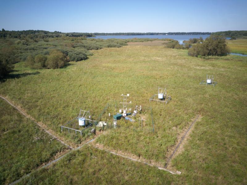
Photos

Geographic
Centroid/Representative Coordinates
Latitude: 49.0247 Longitude: 14.7703
Size
ca. 1.00ha
Elevation (average)
426.00msl
Elevation (min)
426.00msl
Elevation (max)
426.00msl
Download