Beverbeek - Belgium
DEIMS.ID
https://deims.org/23e9165c-76f7-447e-9713-1dc8c45f2253
ProTip! Use the DEIMS.ID to reference sites in papers, reports or anywhere else.
Basic Information
Site Name
Beverbeek
Short name
Beverbeek
Country
Belgium
Web Address
Operating Organisation
Site Manager
Funding Agency
Site Description
Last modified
2025-04-23 08:53:45
![]()
General Characteristics and Status
Site Status
Operational
Year Established
2015
Observed properties
Affiliation and Network Specific Information
Affiliation
ILTER✔This site is a verified "ILTER" member.
LTER Europe✔This site is a verified "LTER Europe" member.
LTER Belgium✔ (LTER_EU_BE_37)This site is a verified "LTER Belgium" member.
GERI✔This site is a verified "GERI" member.
Projects
Photos
Geographic
Centroid/Representative Coordinates
Latitude: 51.2781 Longitude: 5.5242
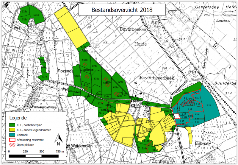
Size
ca. 636.10ha
Elevation (average)
33.00msl
Elevation (min)
31.00msl
Elevation (max)
35.00msl
Download