Conwy catchment - United Kingdom

Basic Information
Site Name
Conwy catchment
Short name
Conwy
Country
United Kingdom
Site Manager
Site Description
Mixed lowland and upland catchment established as a major UK research platform for ecological research, including long-term monitoring of greenhouse has fluxes and water quality, ecosystem-scale experiments, ecological and biogeochemical process studies and modelling. The Conwy catchment incorporates a range of habitats broadly representative of Wales, comprising upland bog and heath, mountain grassland, lowland improved grassland, conifer and broadleaf woodland.
Last modified
2022-08-31 16:08:51

CC-BY-NC Logo

General Characteristics and Status
Site Status
Operational
Year Established
2006
Observed properties
Affiliation and Network Specific Information
Affiliation
ILTERThis site is a verified "ILTER" member.
LTER EuropeThis site is a verified "LTER Europe" member.
UK ECN (LTER_EU_UK_076)This site is a verified "UK ECN" member.
Photos
View over the Conwy site
Valley within the site, showing a range of land uses
Lake within the site
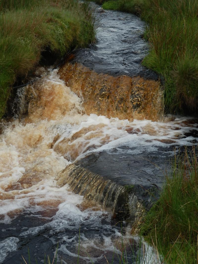
Stream within the site
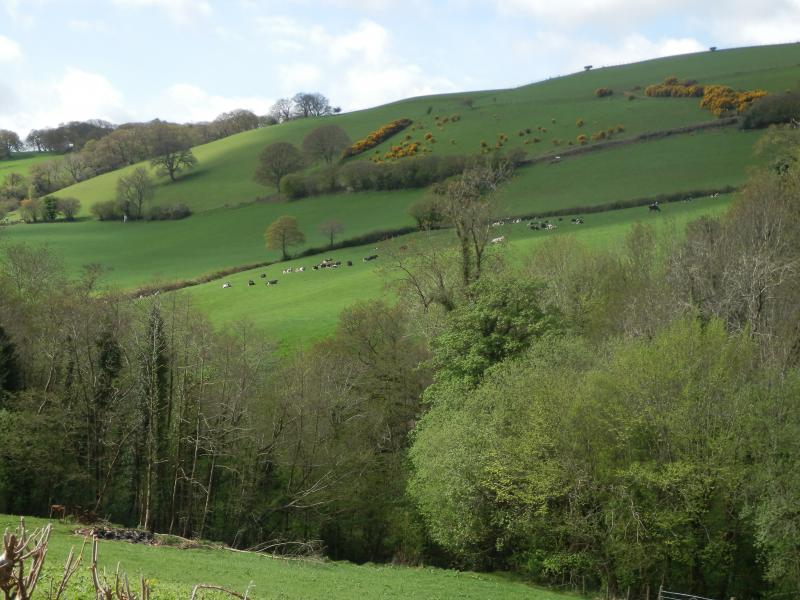
Wooded and grazed areas within the site
Geographic
Centroid/Representative Coordinates

Latitude: 53.1 Longitude: -3.8

Size
ca. 28500.00ha
Elevation (average)
300.00msl
Elevation (min)
0.00msl
Elevation (max)
1050.00msl
Download

Site information [.json]

Centroid/representative coordinates [.shp] [.kml]
Bounding Box [.shp] [.kml]
Boundaries [.shp] [.kml]